
- All products are added to your cart.
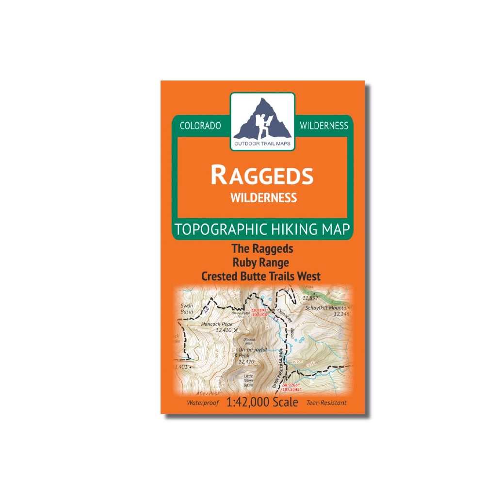
Outdoor Trail Maps Raggeds Wilderness Map
- Waterproof and tear-resistant – designed for on-trail use in harsh conditions
- 1:42,000 scale (1 in ≈ 0.66 mi)
- Smaller size (4”x7” folded, 27”x19” unfolded) and light weight – under 2 oz
- Trail segment mileages for all trails
- Lat-long coordinates for all trailheads and key trail junctions
- 50 ft contour lines
- Accurate, intuitive and easy-to-use
This wilderness area spans 65,000 acres across the Raggeds Wilderness of central Colorado. Coverage includes The Raggds, Ruby Range, Oh-be-joyful trail, and great coverage of trails west of Crested Butte, CO.
Add to cart
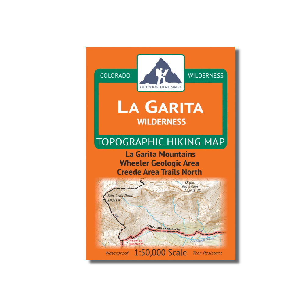
Outdoor Trail Maps La Garita Wilderness Map
The La Garita Wilderness Topographic Hiking Map shows all of the hiking trails in the La Garita Wilderness in the San Juan Mountains of southern Colorado.
More info
$8.95
($8.95 Total)
