- All products are added to your cart.
Maps
Add to cart
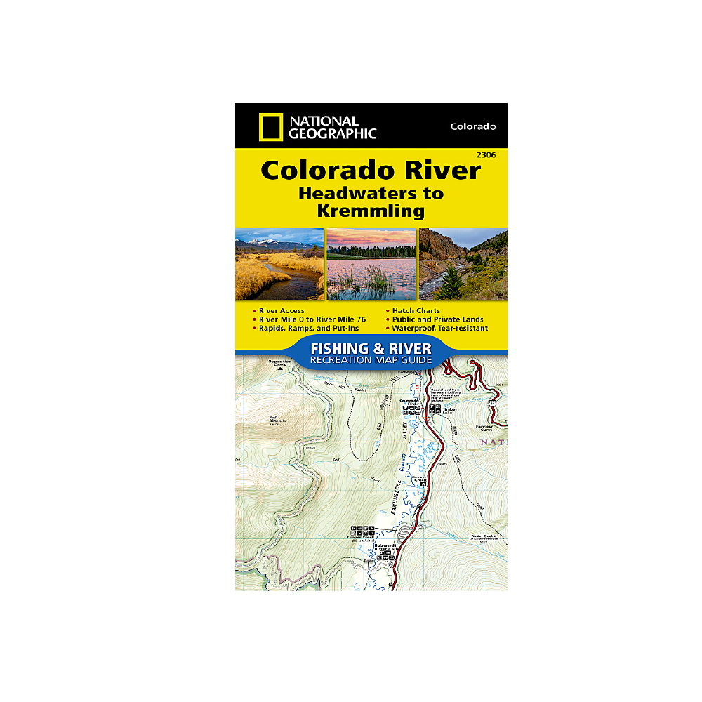
National Geographic 2306: Colorado River Headwaters to Kremmling Map
The Colorado River, Headwaters to Kremmling Fishing & River Map Guide is designed to be the perfect companion for anyone recreating on the upper section of this mighty river.
More info
$14.99
($14.99 Total)

Add to cart
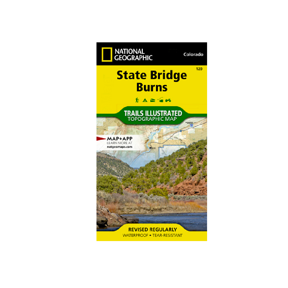
National Geographic 120: State Bridge | Burns Map
Outdoor enthusiasts seeking to explore the rugged topography of northwestern Colorado will marvel at National Geographic's Trails Illustrated map of State Bridge and Burns.
More info
$14.99
($14.99 Total)

Add to cart
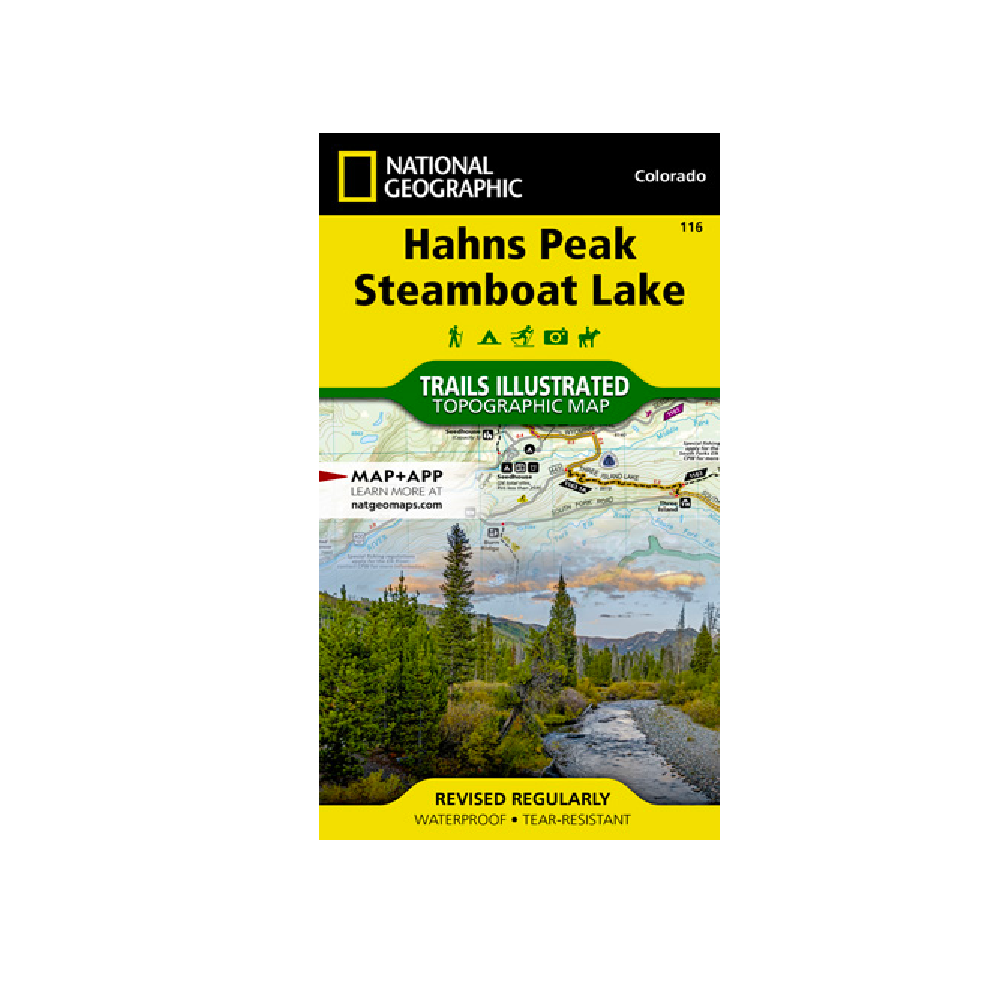
National Geographic 116: Hahns Peak | Steamboat Lake Map
Expertly researched and created in partnership with local land management agencies, National Geographic's Trails Illustrated map of Hahns Peak and Steamboat Lake provides an unparalleled tool for exploring this magnificent region of northern Colorado.
More info
$14.99
($14.99 Total)

Add to cart
National Geographic 101: Cache La Poudre | Big Thompson Map
Outdoor enthusiasts looking to enjoy the recreational opportunities just east of Rocky Mountain National Park will find National Geographic's Trails Illustrated map of Cache La Poudre and Big Thompson an essential travel companion.
More info
$14.99
($14.99 Total)

Add to cart
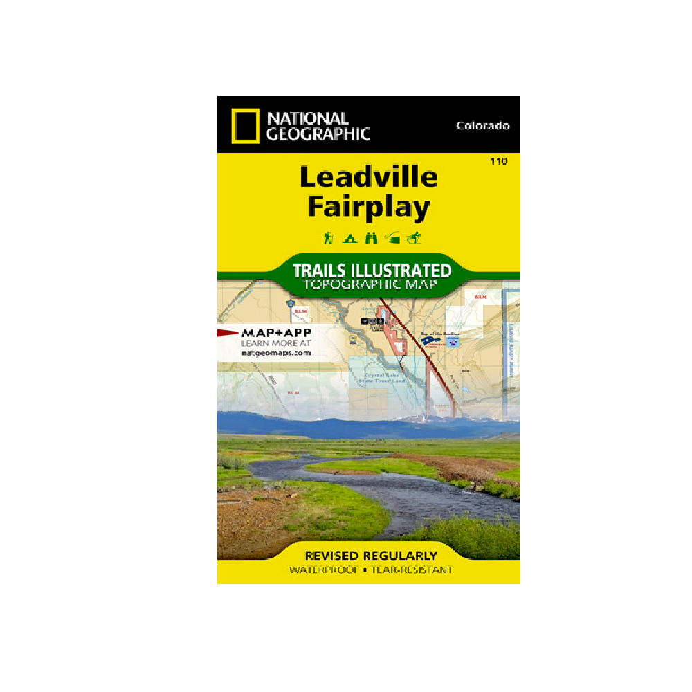
National Geographic 110: Leadville | Fairplay Map
Nestled in a high mountain valley surrounded by snowcapped peaks, former mining town Leadville, Colorado is the highest incorporated city in the United States.
More info
$14.99
($14.99 Total)

Add to cart
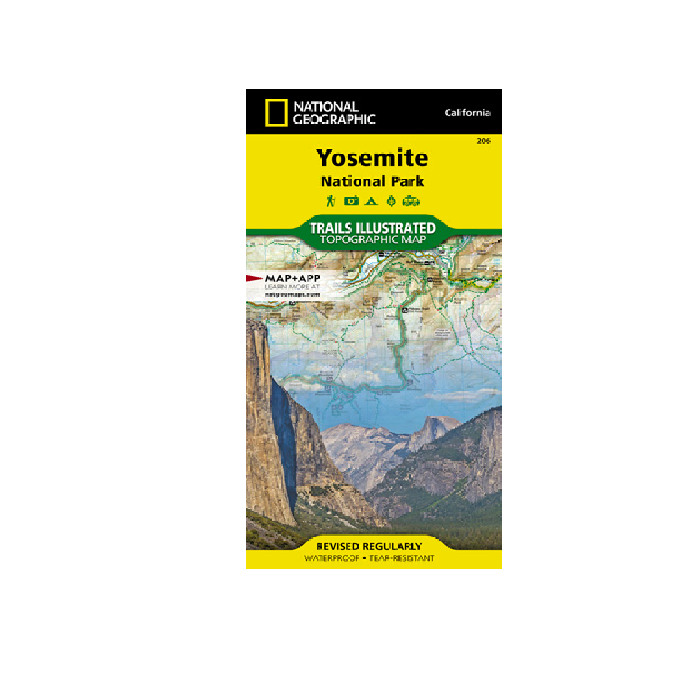
National Geographic Map | 206 | Yosemite National Park
Explore the majesty of Yosemite National Park with National Geographic's Trails Illustrated map.
More info
$14.99
($14.99 Total)

Add to cart
National Geographic 118: Steamboat Springs | Rabbit Ears Map
National Geographic's Trails Illustrated map of Steamboat Springs and Rabbit Ears Pass delivers unmatched detail and valuable information to assist you in year-round exploration of this exciting region.
More info
$14.99
($14.99 Total)

Add to cart
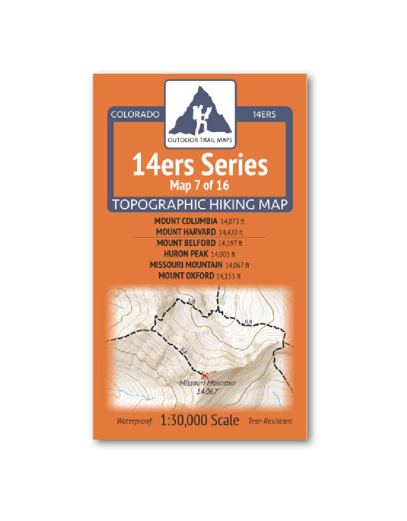
Outdoor Trail Maps 14er Series : Columbia | Harvard | Belford | Huron | Missouri | Oxford Map
14ers Series Topographic Hiking Map 7 of 16 covers fourteeners Mount Columbia and Mount Harvard on the front side and Mount Belford, Huron Peak, Missouri Mountain and Mount Oxford on the back, including all hiking trails in the surrounding areas.
More info
$5.95
($5.95 Total)

$5.95
($5.95 Total)
Add to cart
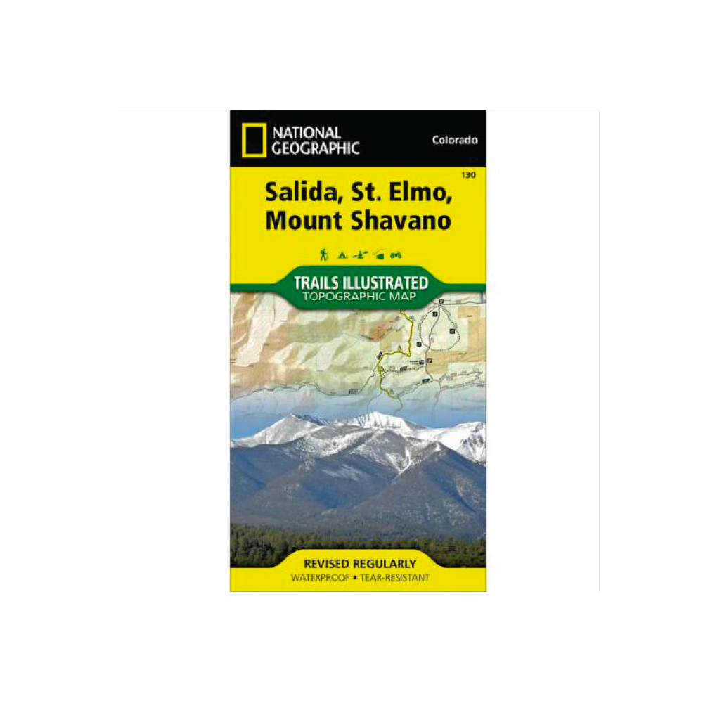
National Geographic 130: Salida | St. Elmo | Mount Shavano Map
• Waterproof • Tear-Resistant • Topographic Map
More info
$14.99
($14.99 Total)

Add to cart
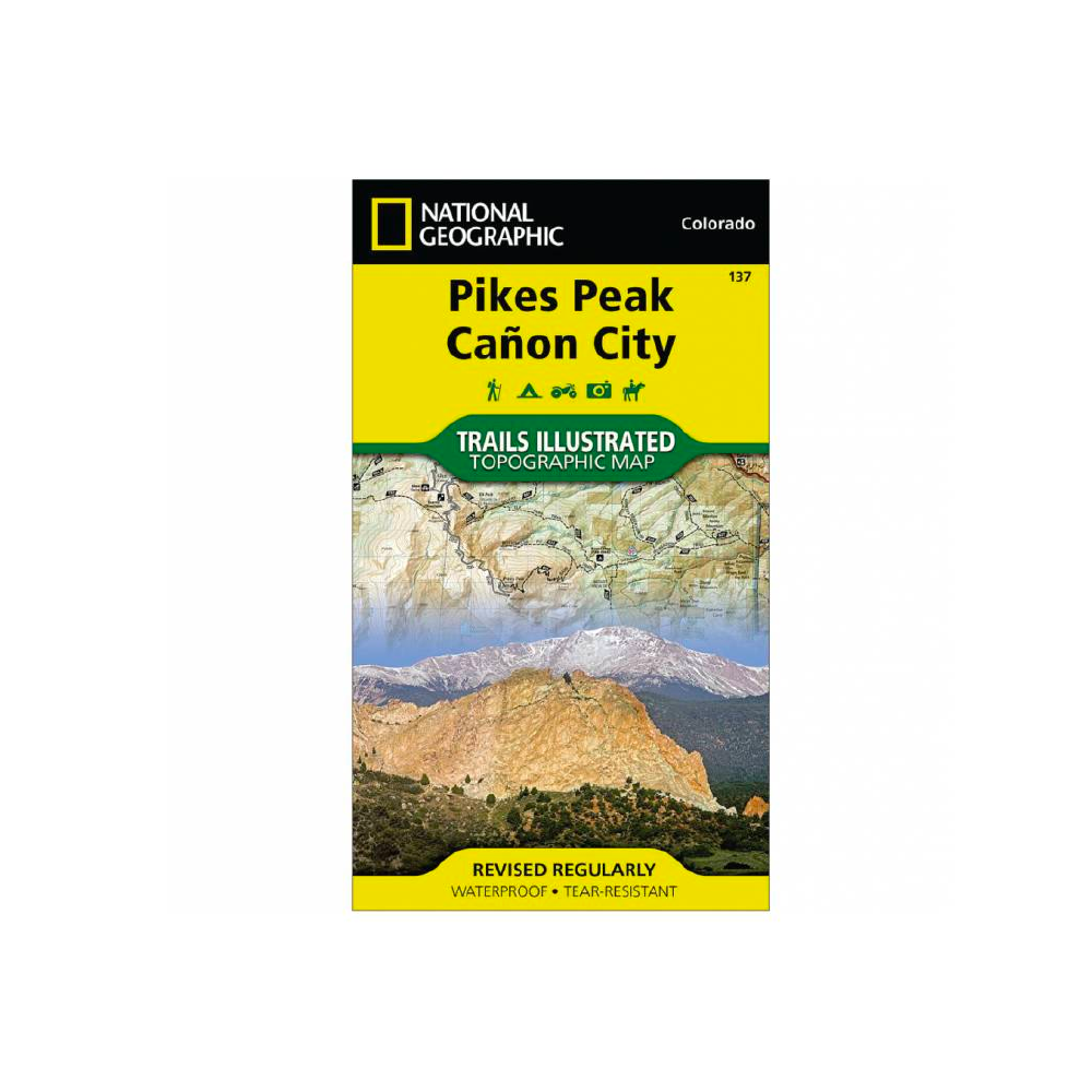
National Geographic 137: Pikes Peak | Canon City Map
• Waterproof • Tear-Resistant • Topographic Map
More info
$14.95
($14.95 Total)

Add to cart
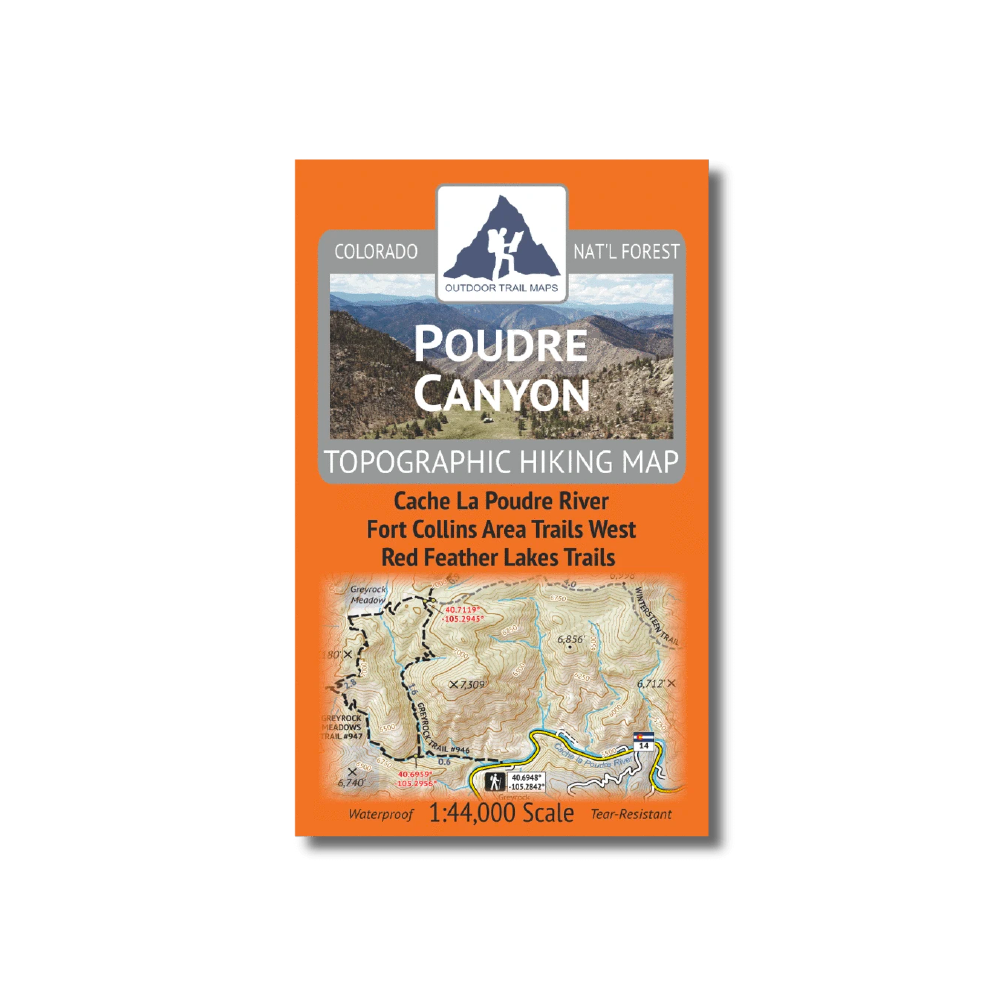
Outdoor Trail Maps Poudre Canyon Map
The Poudre Canyon Topographic Hiking Map shows all of the hiking trails around the Poudre Canyon area of northern Colorado.
More info
$9.99
($9.99 Total)

Add to cart
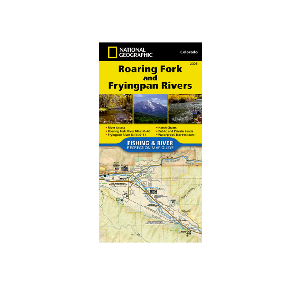
National Geographic 2305 Roaring Fork and Frying Pan Rivers Map
The Roaring Fork and Fryingpan Rivers Fishing & River Map Guide is designed to be the perfect companion to anyone recreating on either of these two iconic Colorado rives.
More info
$14.95
($14.95 Total)

Add to cart
Outdoor Trail Maps Comanche Peak Wilderness Map
The Comanche Peak Wilderness Topographic Hiking Map shows all hiking trails in the Comanche Peak Wilderness of northern Colorado and surroundings.
More info
$8.95
($8.95 Total)

Add to cart
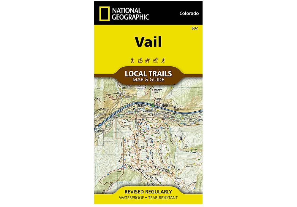
National Geographic 602: Vail Local Trails Map & Guide
Situated at 8,150 feet in the upper reaches of the Gore Valley and encircled by the White River National Forest, Vail combines one of the world’s best alpine ski resorts with a friendly community that maintains its small-town feel.
More info
$11.95
($11.95 Total)

Add to cart
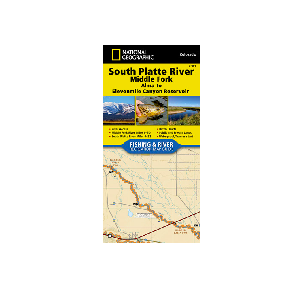
National Geographic 2301: South Platte River Middle Fork Alma to Elevenmile Canyon Reservoir
The South Platte River [Middle Fork], Alma to Elevenmile Canyon Reservoir Fishing & River Map Guide is designed to be the perfect companion to anyone recreating on the upper reaches of the Middle Fork of the South Platte.
More info
$14.99
($14.99 Total)

$14.99
($14.99 Total)
Add to cart
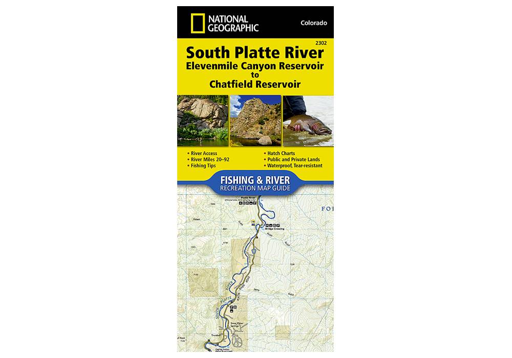
National Geographic 2302: South Platte River Elevenmile Canyon Reservoir to Chatfield Reservoir Map
The South Platte River, Elevenmile Canyon Reservoir to Chatfield Reservoir Fishing & River Map Guide is designed to be the perfect companion to anyone recreating on the South Platte from just below Elevenmile Canyon Reservoir to the southwestern suburbs o
More info
$14.99
($14.99 Total)

$14.99
($14.99 Total)
Add to cart
National Geographic 601: Aspen Local Trails Map & Guide
With more than 200 miles of trails just a short distance from town, visitors to Aspen have an enviable problem, with all of these trails to choose from, where should they start?
More info
$14.99
($14.99 Total)

Add to cart
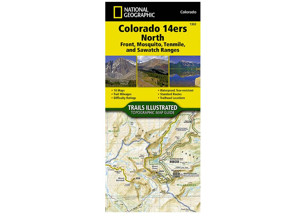
National Geographic 1302: Colorado 14ers North | Front | Mosquito | Tenmile | Sawatch Ranges Map
Colorado has the highest mean elevation of any state in the United States. It's home to 58 mountain peaks higher than 14,000 feet—more than any other state in the U.S—making it a mountain sports mecca.
More info
$14.99
($14.99 Total)

$14.99
($14.99 Total)
Add to cart
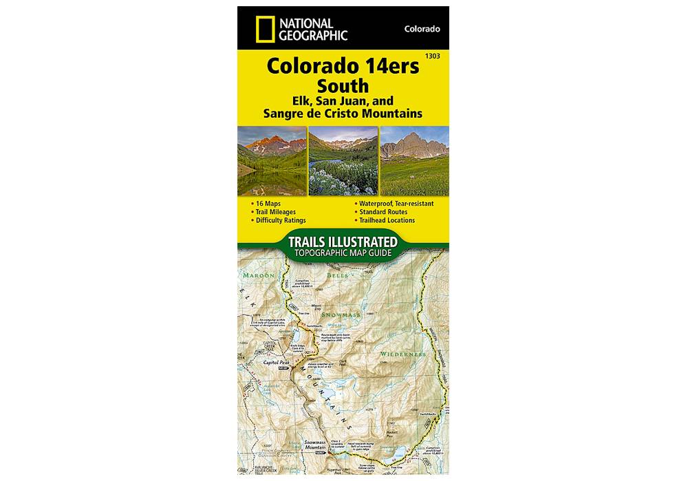
National Geographic 1303: Colorado 14ers South Map Guide (San Juan, Elk, and Sangre de Cristo Mountains)
The Colorado 14ers South Topographic Map Guide provides the most accurate and convenient set of maps for the fourteeners of the Elk, San Juan, and Sangre de Cristo ranges of southern Colorado.
More info
$14.99
($14.99 Total)
")
$14.99
($14.99 Total)
Add to cart
National Geographic 100: Boulder / Golden Map
National Geographic's Trails Illustrated map of Boulder and Golden combines unmatched detail with helpful information to offer an invaluable tool for making the most of your exploration of the central Colorado Front Range
More info
$14.99
($14.99 Total)

Add to cart
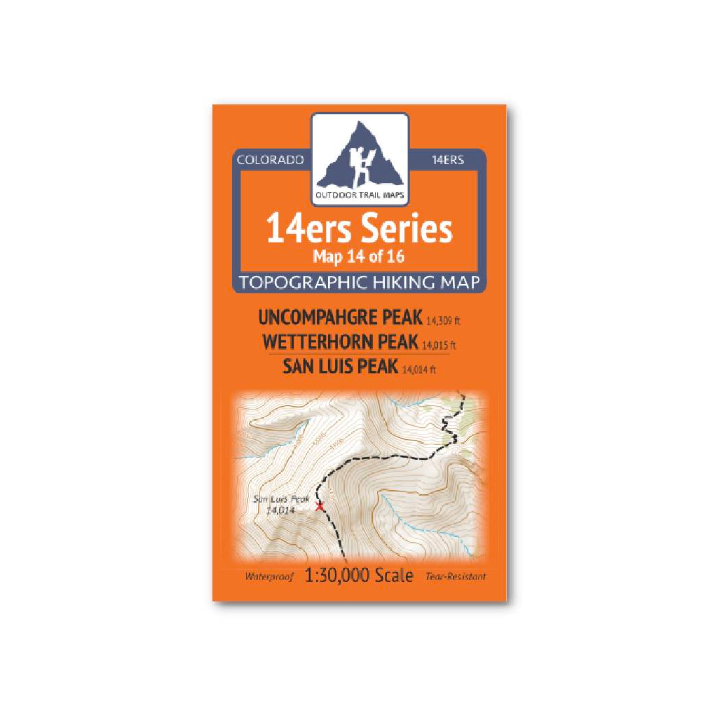
Outdoor Trail Maps 14er Series : Uncompahgre | Wetterhorn | San Luis Map
14ers Series Topographic Hiking Map 14 of 16 covers fourteeners Uncompahgre Peak and Wetterhorn Peak on the front side and San Luis Peak on the back, including all hiking trails in the surrounding areas.
More info
$5.95
($5.95 Total)

Add to cart
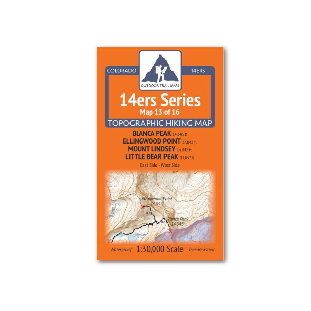
Outdoor Trail Maps 14er Series : Blanca | Ellingwood | Lindsey | Little Bear Map
14ers Series Topographic Hiking Map 13 of 16 covers fourteeners Blanca Peak, Ellingwood Point, Mount Lindsey and Little Bear Peak from the east side on the front of the map and from the west side on the back, including all hiking trails in the surrounding
More info
$5.85
($5.85 Total)

$5.85
($5.85 Total)
Add to cart
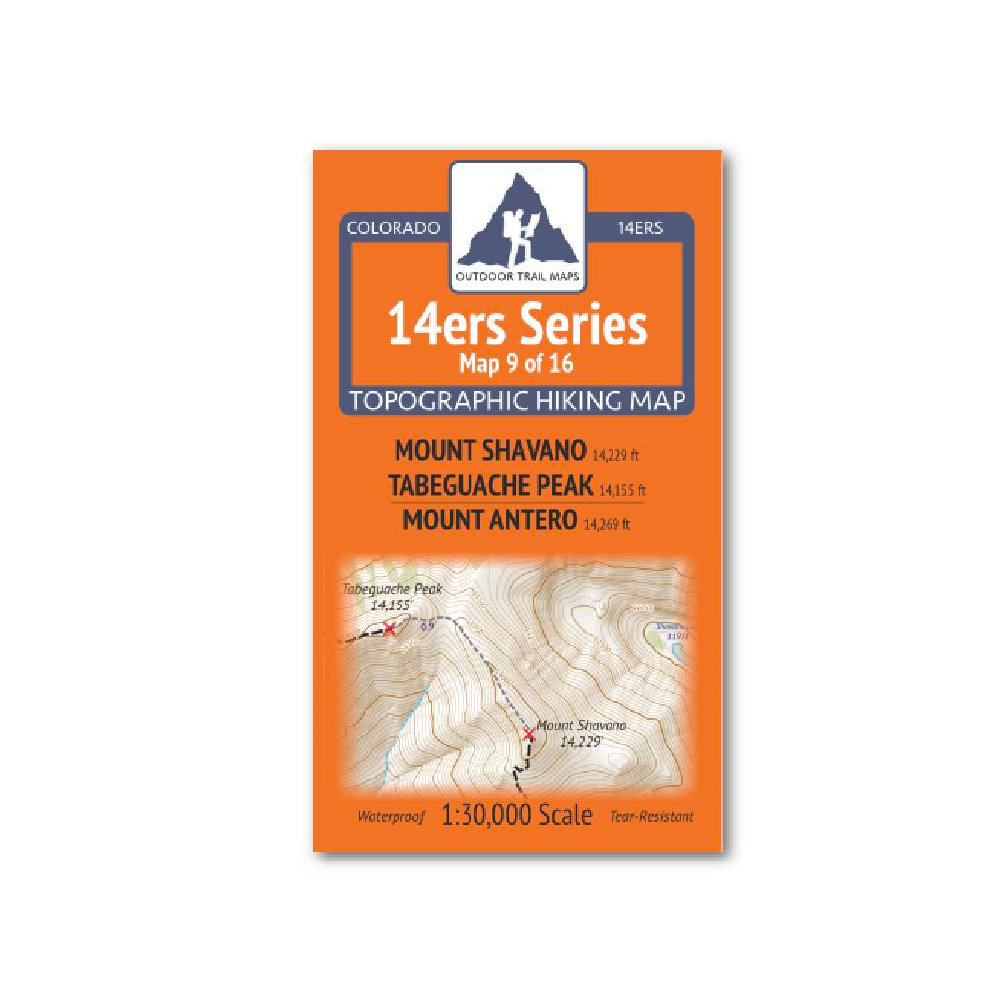
Outdoor Trail Maps 14er Series : Shavano | Tabeguache | Antero Map
14ers Series Topographic Hiking Map 9 of 16 covers fourteeners Mount Shavano and Tabeguache Peak on the front side and Mount Antero on the back, including all hiking trails in the surrounding areas.
More info
$5.95
($5.95 Total)

Add to cart
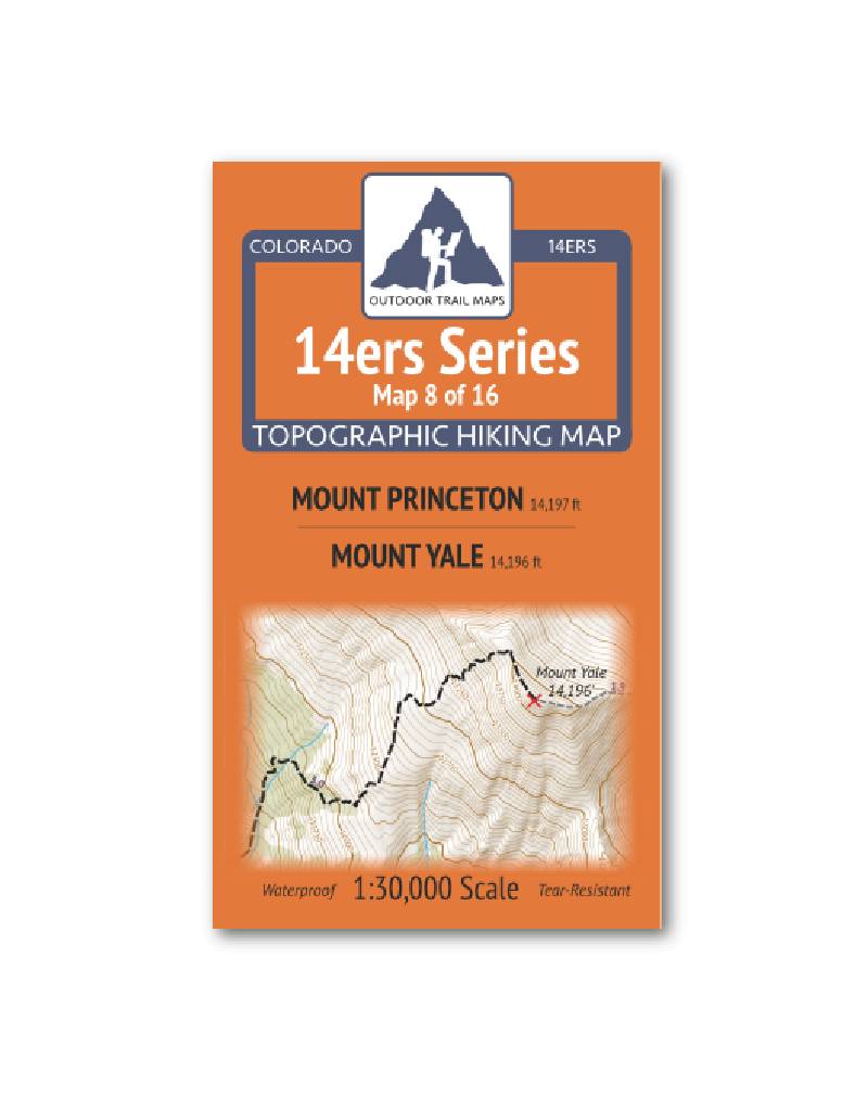
Outdoor Trail Maps 14er Series : Princeton | Yale Map
14ers Series Topographic Hiking Map 8 of 16 covers fourteeners Mount Princeton on the front side and Mount Yale on the back, including all hiking trails in the surrounding areas.
More info
$5.95
($5.95 Total)
