
- All products are added to your cart.

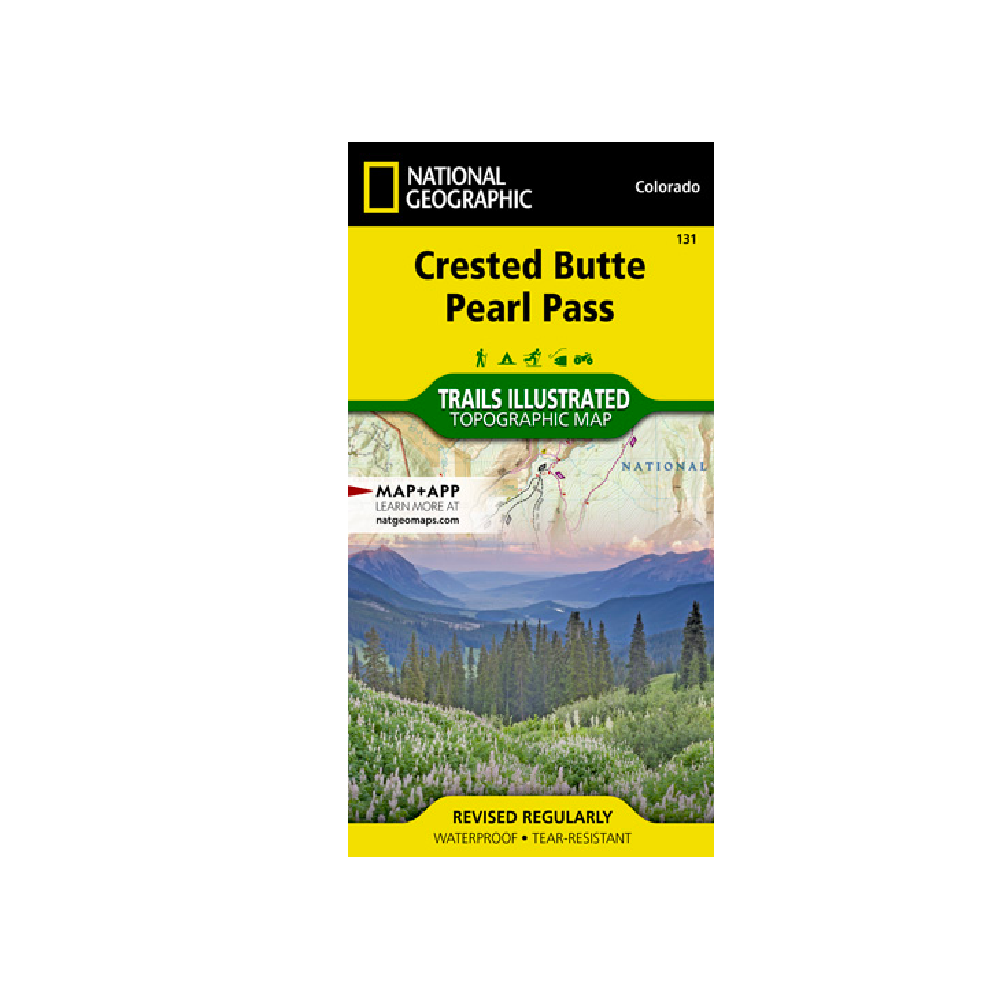
National Geographic 131: Crested Butte | Pearl Pass Map
Created in partnership with the U.S. Forest Service, Bureau of Land Management and others, this expertly researched map covers key areas of interest including Gunnison National Forest, Maroon Bells-Snowmass and Collegiate Peaks Wilderness areas, Crested Butte Ski Area, Elk Mountains, Taylor River, Taylor Park Reservoir, West Elk Loop Scenic Byway and the Continental Divide.
Trailheads will lead you to precisely mapped trails with clear mileage indicators, labeled according to their designated usage, whether your adventure involves hiking, cross-country skiing, biking, snowmobiling or using some other motorized vehicle. The map features shaded relief; contour lines with elevations; labeled passes, peaks and summits; and reservoirs, rivers and other water features. Some of the many recreation features include campgrounds, boat launch and river access points, and fishing areas.
Every Trails Illustrated map is printed on "Backcountry Tough" waterproof, tear-resistant paper. A full UTM grid is printed on the map to aid with GPS navigation.
Other features found on this map include: Collegiate Peaks Wilderness, Gunnison National Forest, Maroon Bells-Snowmass Wilderness, Taylor Park Reservoir.
Add to cart
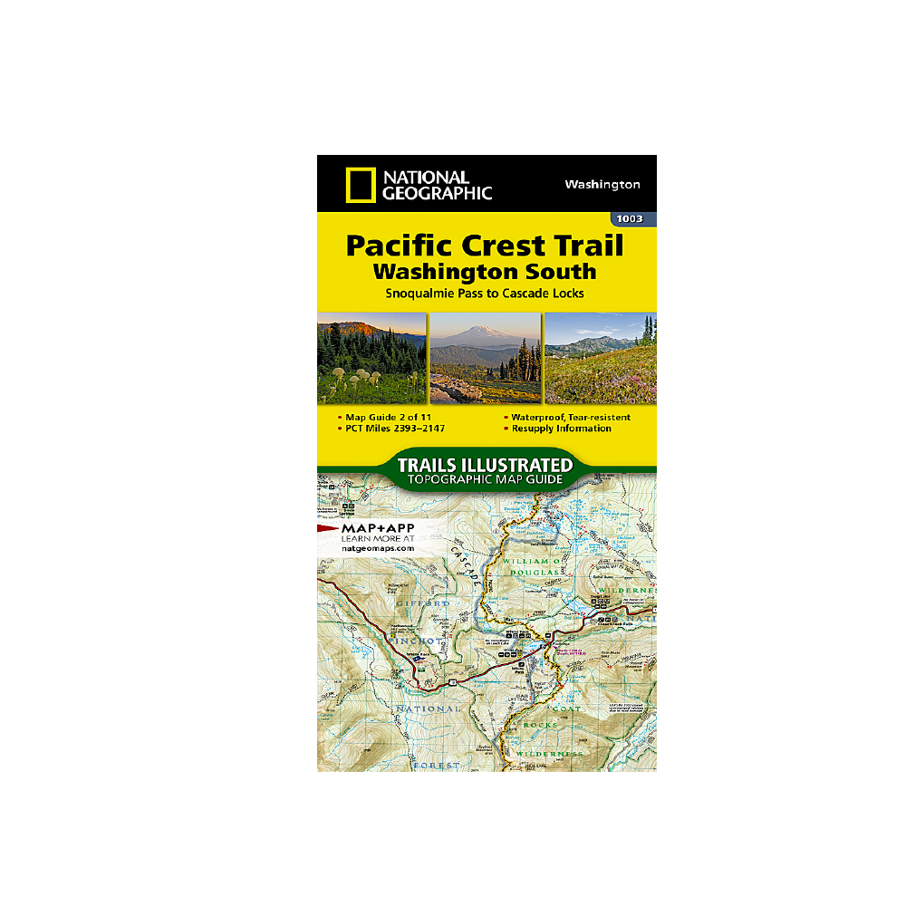
National Geographic 1003: Pacific Crest Trail South Map
The Washington South Topographic Map Guide follows the Pacific Crest Trail (PCT) as it travels through a landscape dotted with lakes, perennial snowfields, and small glaciers.
More info
$14.99
($14.99 Total)

Add to cart
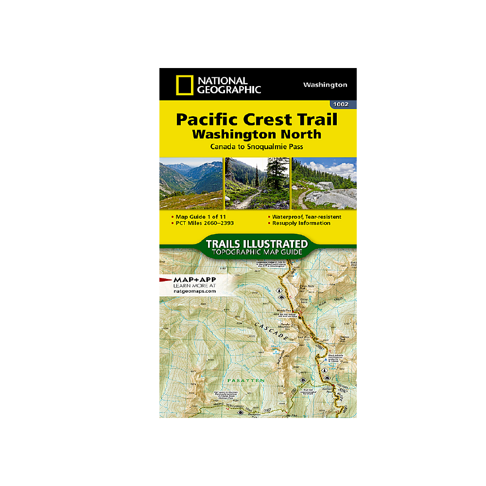
National Geographic 1002: Pacific Crest Trail North Map
The Washington North Topographic Map Guide follows the Pacific Crest Trail (PCT) as it traverses the heart of the northern Cascades.
More info
$14.99
($14.99 Total)
