- All products are added to your cart.
National Geographic
Add to cart
National Geographic 152: Elevenmile Canyon | South Park Map
Outdoor enthusiasts seeking the year-round recreational activities in central Colorado will marvel at National Geographic's Trails Illustrated map of Elevenmile Canyon and South Park.
More info
$14.99
($14.99 Total)

Add to cart
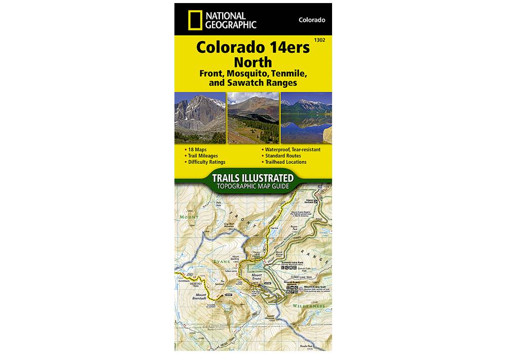
National Geographic 1302: Colorado 14ers North | Front | Mosquito | Tenmile | Sawatch Ranges Map
Colorado has the highest mean elevation of any state in the United States. It's home to 58 mountain peaks higher than 14,000 feet—more than any other state in the U.S—making it a mountain sports mecca.
More info
$14.99
($14.99 Total)

$14.99
($14.99 Total)
Add to cart
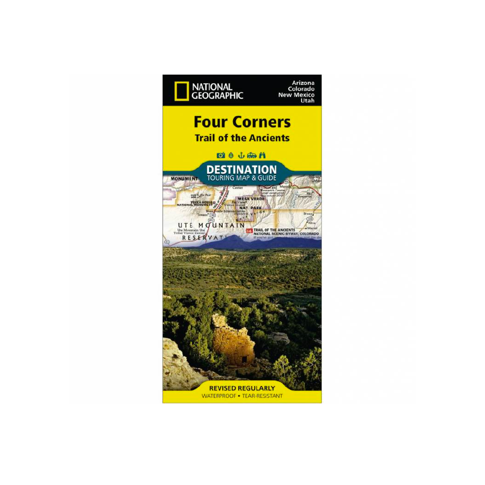
National Geographic Four Corners Map
Waterproof • Tear-Resistant • Travel Map
More info
$14.99
($14.99 Total)

Add to cart
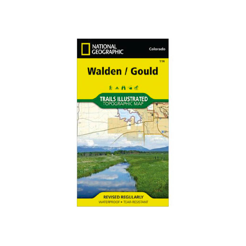
National Geographic 114: Walden | Gould Map
• Waterproof • Tear-Resistant • Topographic Map
More info
$14.99
($14.99 Total)

Add to cart
National Geographic 216: Olympic National Park Map
Olympic National Park encompasses four distinctly different ecosystems in its nearly one million acres.
More info
$14.99
($14.99 Total)

Add to cart
National Geographic 140: Weminuche Wilderness Map
• Waterproof • Tear-Resistant • Topographic Map
More info
$14.95
($14.95 Total)

Add to cart
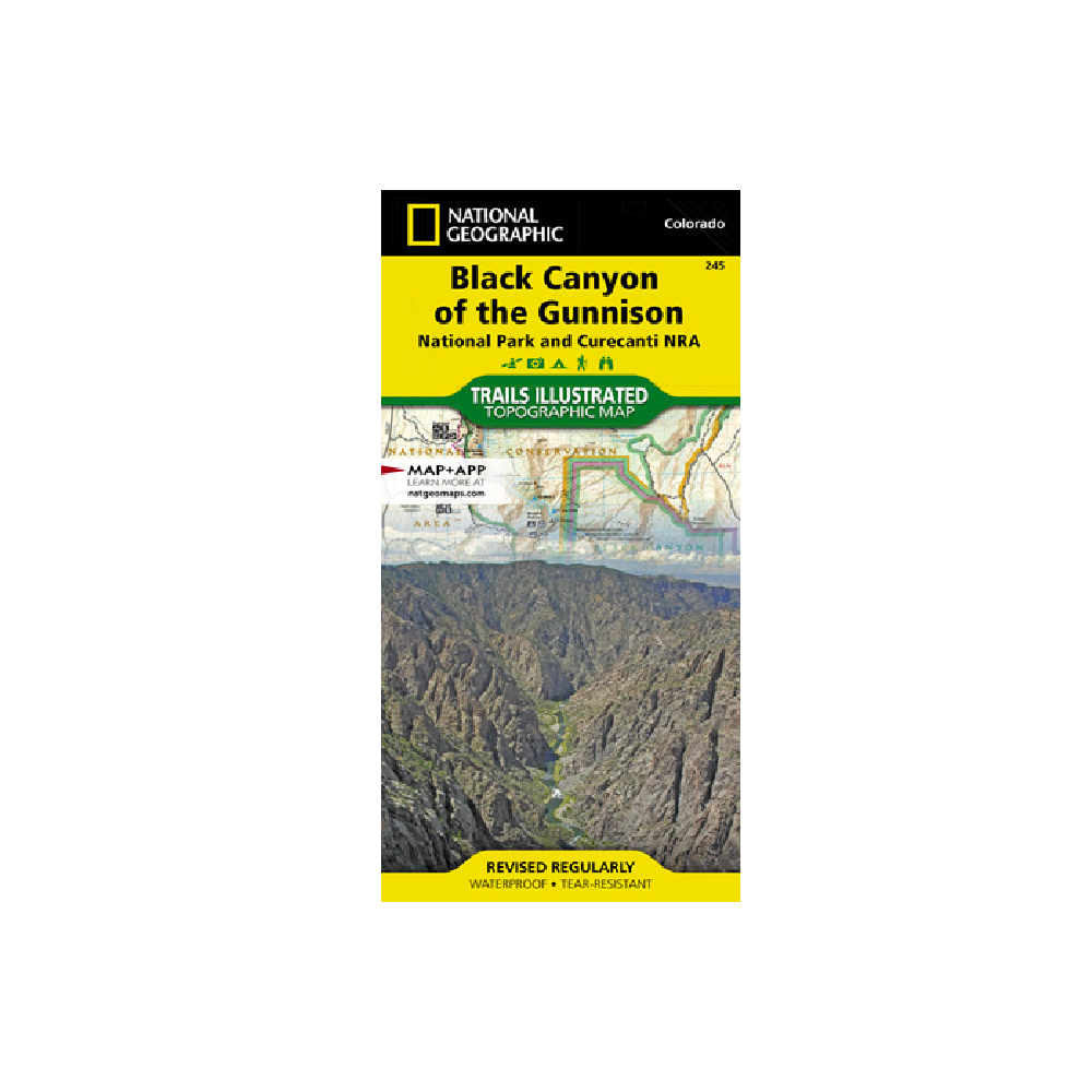
National Geographic 245: Black Canyon of the Gunnison Map
Designed with a wide range of visitors in mind, this map features detailed and easy-to-read trails, accurate road network, and a variety of information about the region and recreational activities available.
More info
$14.99
($14.99 Total)

Add to cart
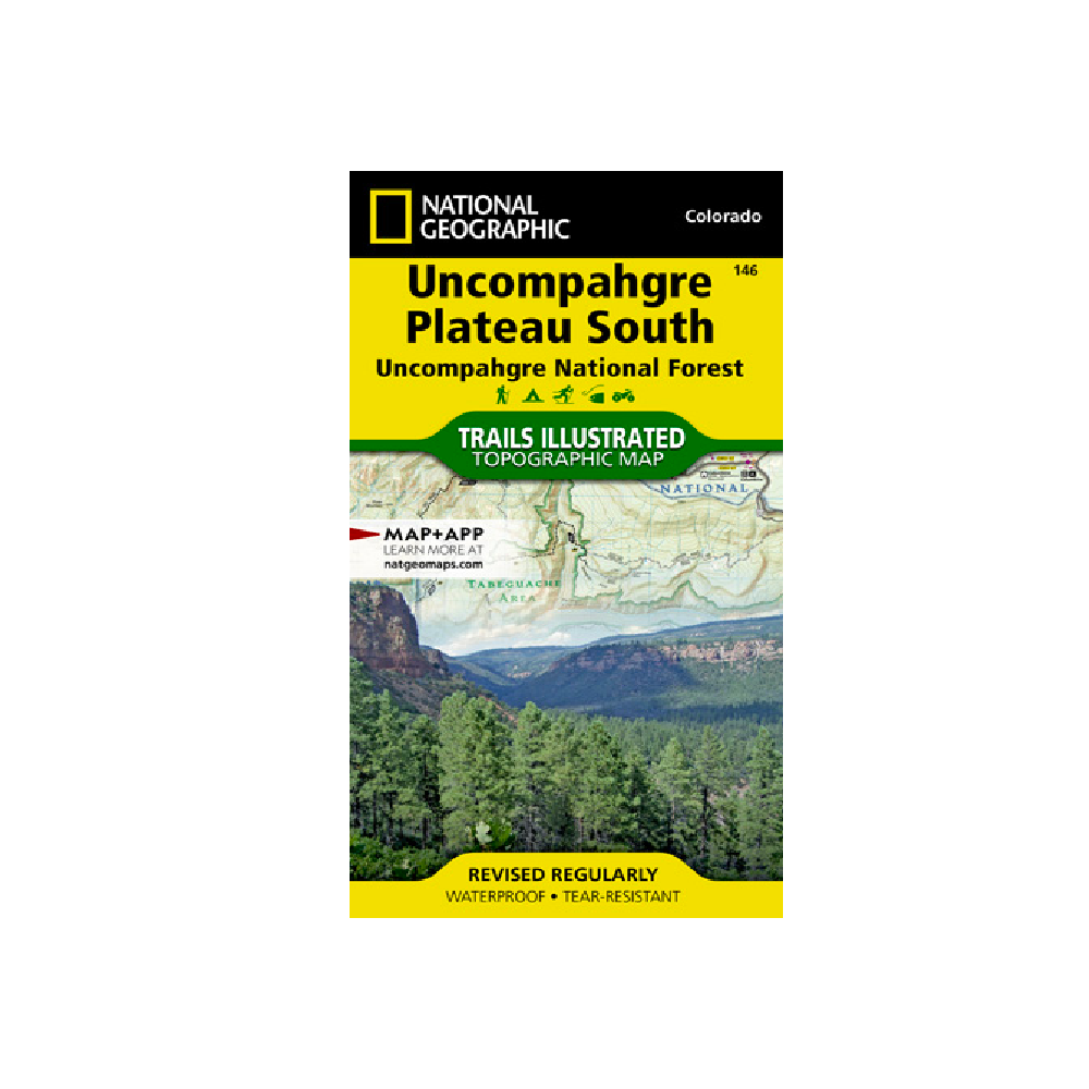
National Geographic 146: Uncompahgre Plateau South Map
National Geographic's Trails Illustrated map of Uncompahgre Plateau South is created for outdoor enthusiasts exploring the year-round recreational opportunities in this unique area in southwestern Colorado.
More info
$14.99
($14.99 Total)

Add to cart
National Geographic 101: Cache La Poudre | Big Thompson Map
Outdoor enthusiasts looking to enjoy the recreational opportunities just east of Rocky Mountain National Park will find National Geographic's Trails Illustrated map of Cache La Poudre and Big Thompson an essential travel companion.
More info
$14.99
($14.99 Total)

Add to cart
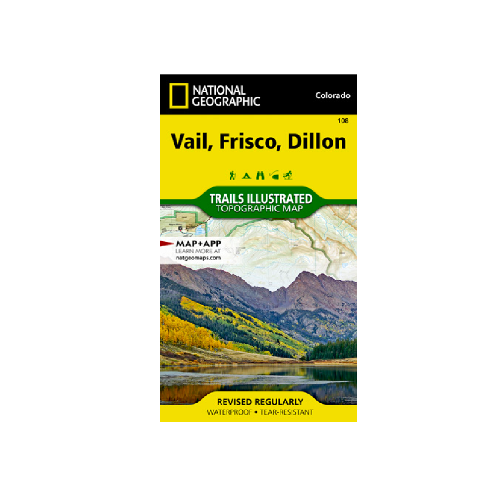
National Geographic 108: Vail | Frisco | Dillon Map
National Geographic's Trails Illustrated map of Vail, Frisco, and Dillon is an unparalleled tool for exploring this region of the Colorado Rockies.
More info
$14.99
($14.99 Total)

Add to cart
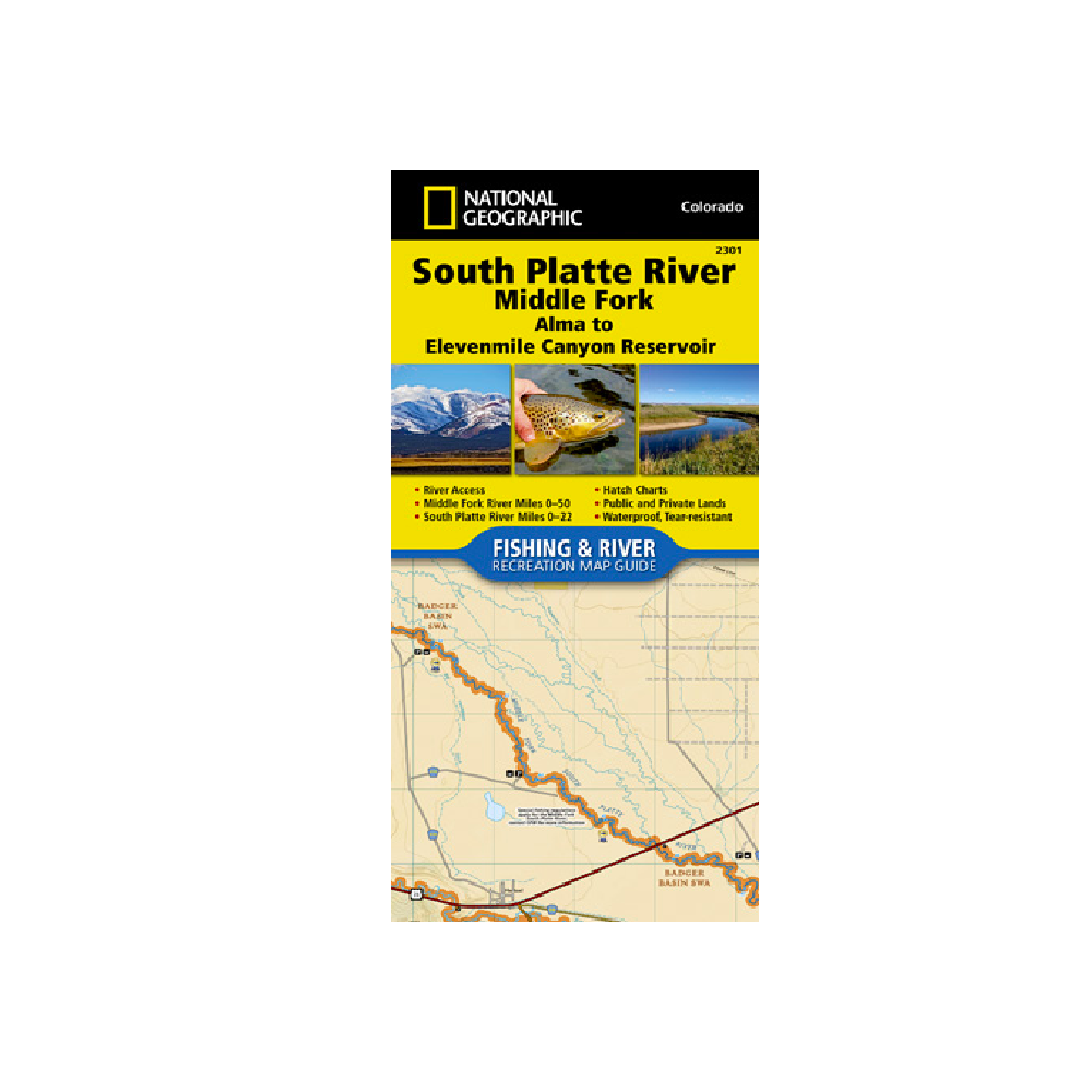
National Geographic 2301: South Platte River Middle Fork Alma to Elevenmile Canyon Reservoir
The South Platte River [Middle Fork], Alma to Elevenmile Canyon Reservoir Fishing & River Map Guide is designed to be the perfect companion to anyone recreating on the upper reaches of the Middle Fork of the South Platte.
More info
$14.99
($14.99 Total)

$14.99
($14.99 Total)
Add to cart
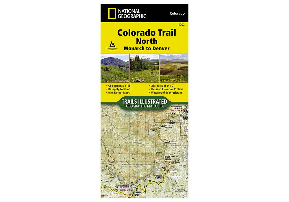
National Geographic 1202: Colorado Trail North Monarch to Denver Map
The Colorado Trail North Topographic Map Guide has been designed as the perfect traveling companion when navigating the north section of The Colorado Trail.
More info
$14.95
($14.95 Total)

Add to cart
National Geographic 100: Boulder / Golden Map
National Geographic's Trails Illustrated map of Boulder and Golden combines unmatched detail with helpful information to offer an invaluable tool for making the most of your exploration of the central Colorado Front Range
More info
$14.99
($14.99 Total)

Add to cart
National Geographic 121: Eagle | Avon Map
• Waterproof • Tear-Resistant • Topographic Map
More info
$14.95
($14.95 Total)

Add to cart
National Geographic 217: Mount Ranier National Park
The highest point in the Cascade Range, Mount Rainier is an icon of Washington state.
More info
$14.99
($14.99 Total)

Add to cart
National Geographic 322: Mount Whitney Map
Mount Whitney is universally famous as the highest peak in the contiguous United States, as well as the highest point in California.
More info
$11.99
($11.99 Total)

Add to cart
National Geographic 1002: Pacific Crest Trail North Map
The Washington North Topographic Map Guide follows the Pacific Crest Trail (PCT) as it traverses the heart of the northern Cascades.
More info
$14.99
($14.99 Total)

Add to cart
National Geographic 2306: Colorado River Headwaters to Kremmling Map
The Colorado River, Headwaters to Kremmling Fishing & River Map Guide is designed to be the perfect companion for anyone recreating on the upper section of this mighty river.
More info
$14.99
($14.99 Total)

Add to cart
National Geographic 116: Hahns Peak | Steamboat Lake Map
Expertly researched and created in partnership with local land management agencies, National Geographic's Trails Illustrated map of Hahns Peak and Steamboat Lake provides an unparalleled tool for exploring this magnificent region of northern Colorado.
More info
$14.99
($14.99 Total)

Add to cart
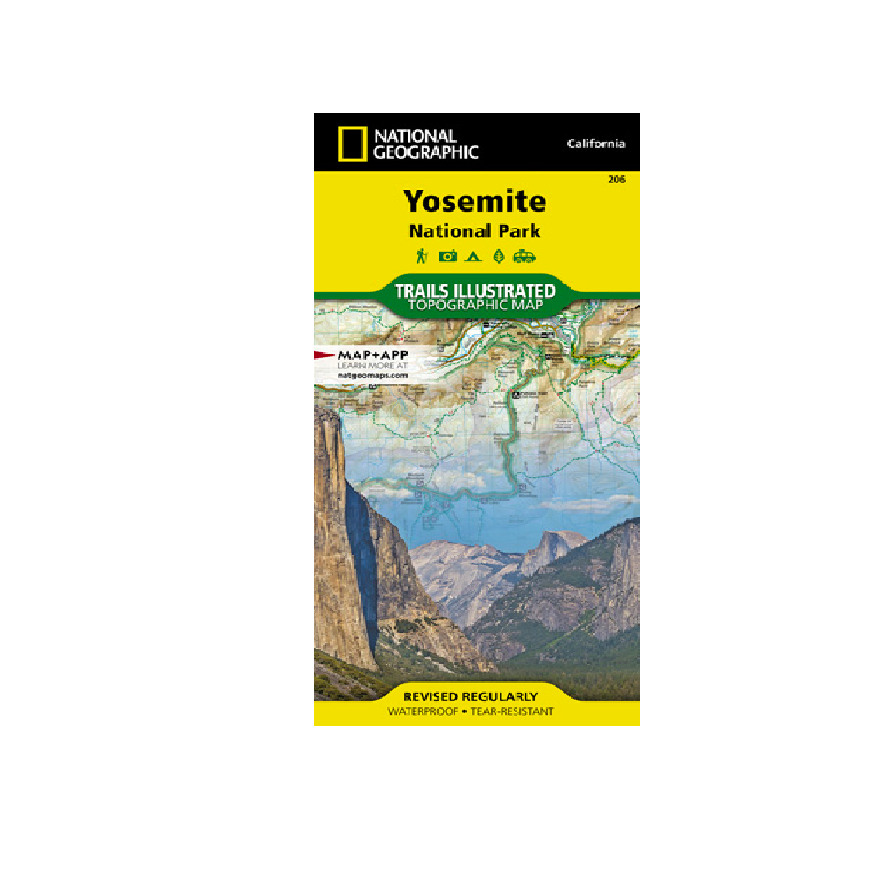
National Geographic Map | 206 | Yosemite National Park
Explore the majesty of Yosemite National Park with National Geographic's Trails Illustrated map.
More info
$14.99
($14.99 Total)

Add to cart
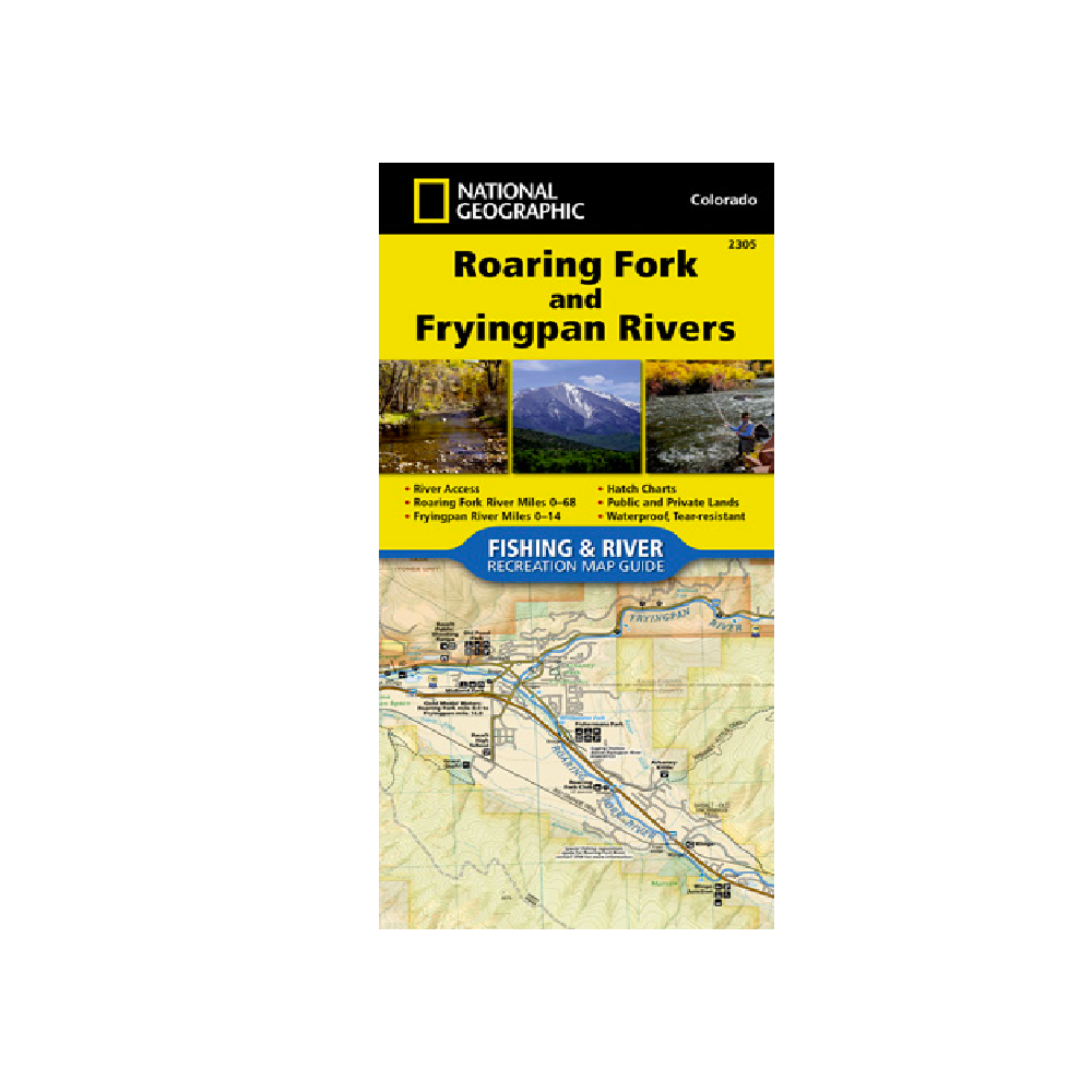
National Geographic 2305 Roaring Fork and Frying Pan Rivers Map
The Roaring Fork and Fryingpan Rivers Fishing & River Map Guide is designed to be the perfect companion to anyone recreating on either of these two iconic Colorado rives.
More info
$14.95
($14.95 Total)

Add to cart
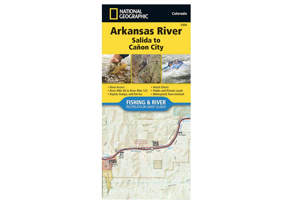
National Geographic 2304: Arkansas River Salida to Canon City Map
The Arkansas River, Salida to Cañon City Fishing & River Map Guide is designed to be the perfect companion to anyone recreating on this section of the Arkansas.
More info
$14.95
($14.95 Total)

Add to cart
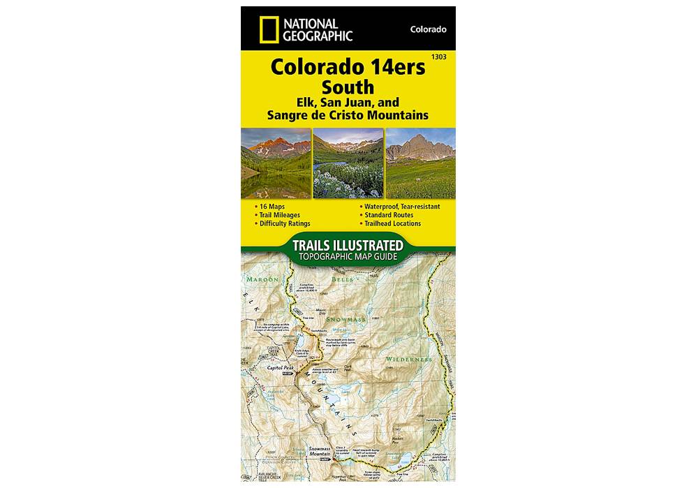
National Geographic 1303: Colorado 14ers South Map Guide (San Juan, Elk, and Sangre de Cristo Mountains)
The Colorado 14ers South Topographic Map Guide provides the most accurate and convenient set of maps for the fourteeners of the Elk, San Juan, and Sangre de Cristo ranges of southern Colorado.
More info
$14.99
($14.99 Total)
")
$14.99
($14.99 Total)
Add to cart
National Geographic 130: Salida | St. Elmo | Mount Shavano Map
• Waterproof • Tear-Resistant • Topographic Map
More info
$14.99
($14.99 Total)
