
- All products are added to your cart.

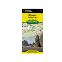

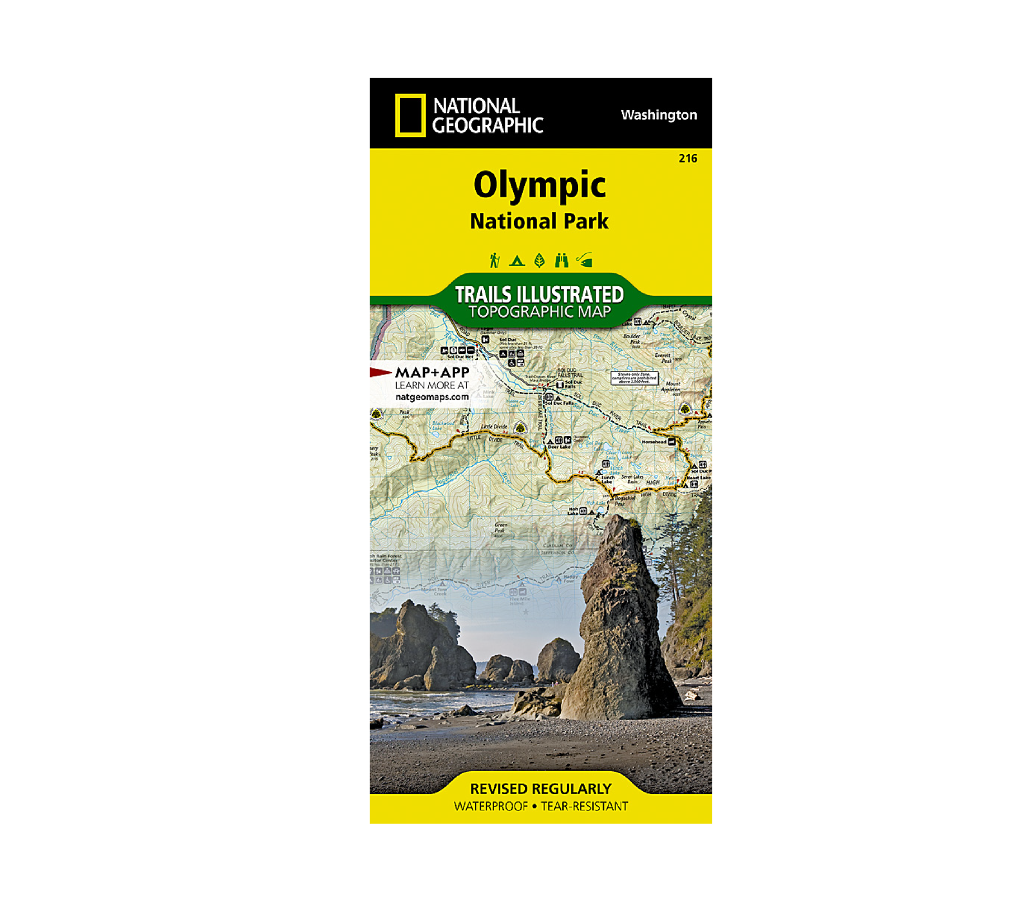
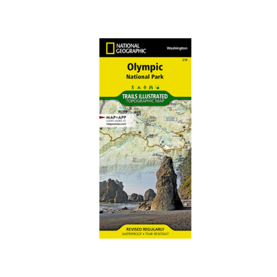
National Geographic 216: Olympic National Park Map
Olympic National Park encompasses four distinctly different ecosystems in its nearly one million acres. National Geographic's Trails Illustrated map of Olympic National Park offers outdoors enthusiasts a valuable tool for exploring the park's old-growth forests, glaciers, untamed rivers, and rugged coastline. Expertly researched and created in partnership with local land management agencies, this map features key areas of interest including Mount Olympus, Ozette Lake, Olympic National Forest, Lake Quinalt, Mount Skokomish Wilderness, Hurricane Ridge, Lake Crescent, and more.
With miles of mapped trails including a portion of the Pacific Northwest Trail, this map can guide you off the beaten path and back again in some of the most breathtaking scenery in the region. Designed with a wide range of visitors in mind, this map features detailed and easy to read trails, accurate road network, points of interest, lodging, waterfalls, fishing and boat access, and ranger stations. The map base includes contour lines and elevations for summits, passes and many lakes. A variety of helpful information about regulations, safety tips, and a list of wilderness campsites are included as well.
Every Trails Illustrated map is printed on "Backcountry Tough" waterproof, tear-resistant paper. A full UTM grid is printed on the map to aid with GPS navigation.
Add to cart
FERAL Denver Original Logo Shirt
This shirt has been all over the world. The original FERAL tee is a super soft wear-it-to-bed triblend tee.
More info
$24.99
($24.99 Total)