
- All products are added to your cart.

National Geographic 101: Cache La Poudre | Big Thompson Map
Expertly researched and created in partnership with the U.S. Forest Service and others, the map covers parts of the Roosevelt National Forest, including Cache La Poudre River and Wilderness, Big Thompson River and Canyon, Lake Estes and Bulwark Ridge.
Get off the beaten path and back on again by following the map to clearly marked trailheads and then along trails, marked according to their designated usage, including trails which are part of the National Recreation Trail system. Also shown are Forest Service roads, many of which serve as ATV trails. To aid in your navigation, the map includes contour lines, elevations, labeled peaks and summits, water features, areas of wooded cover and color-coded boundaries between different land management organizations. Some of the recreational points of interest are campgrounds, interpretive trails, fishing areas, boat launch points and picnic areas. The Cache la Poudre Scenic Byway is marked for those who are interested in taking in the scenery by car.
Every Trails Illustrated map is printed on "Backcountry Tough" waterproof, tear-resistant paper. A full UTM grid is printed on the map to aid with GPS navigation.
Other features found on this map include: Cache La Poudre Wilderness, Roosevelt National Forest.
Add to cart
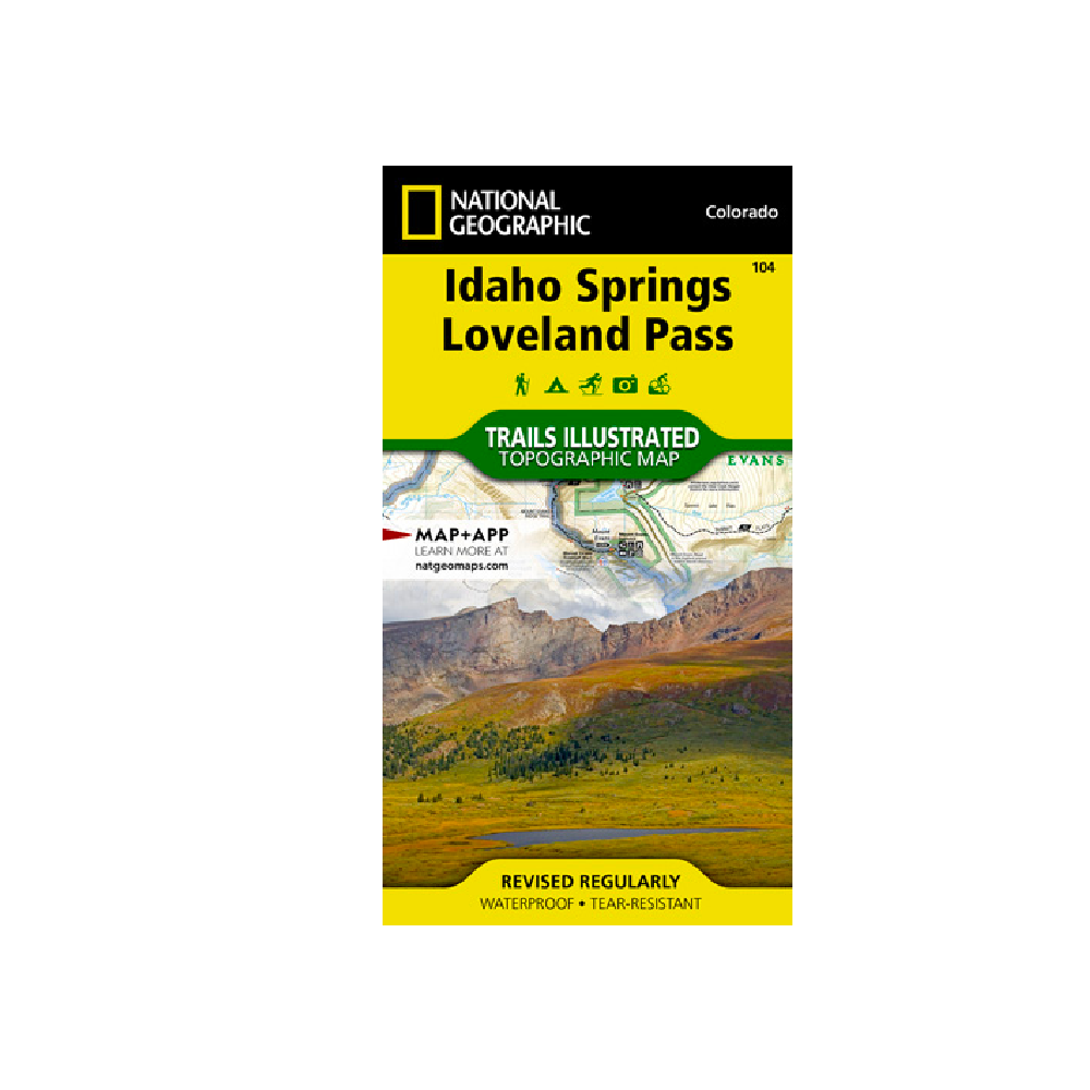
National Geographic 104: Idaho Springs | Loveland Pass Map
National Geographic's Trails Illustrated map of Idaho Springs, Loveland Pass provides an unparalleled tool for exploring this scenic region.
More info
$14.99
($14.99 Total)

Add to cart
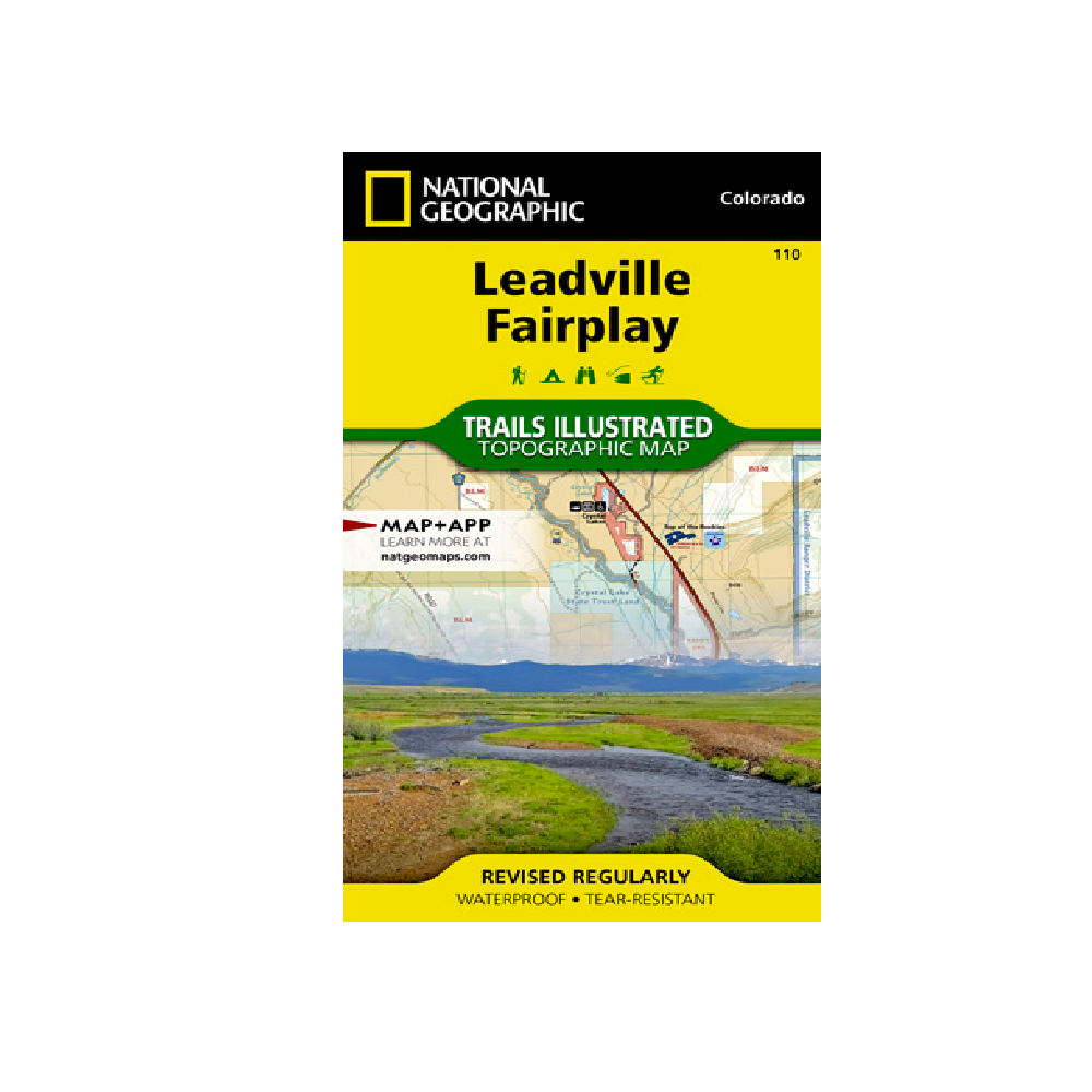
National Geographic 110: Leadville | Fairplay Map
Nestled in a high mountain valley surrounded by snowcapped peaks, former mining town Leadville, Colorado is the highest incorporated city in the United States.
More info
$14.99
($14.99 Total)
