
- All products are added to your cart.

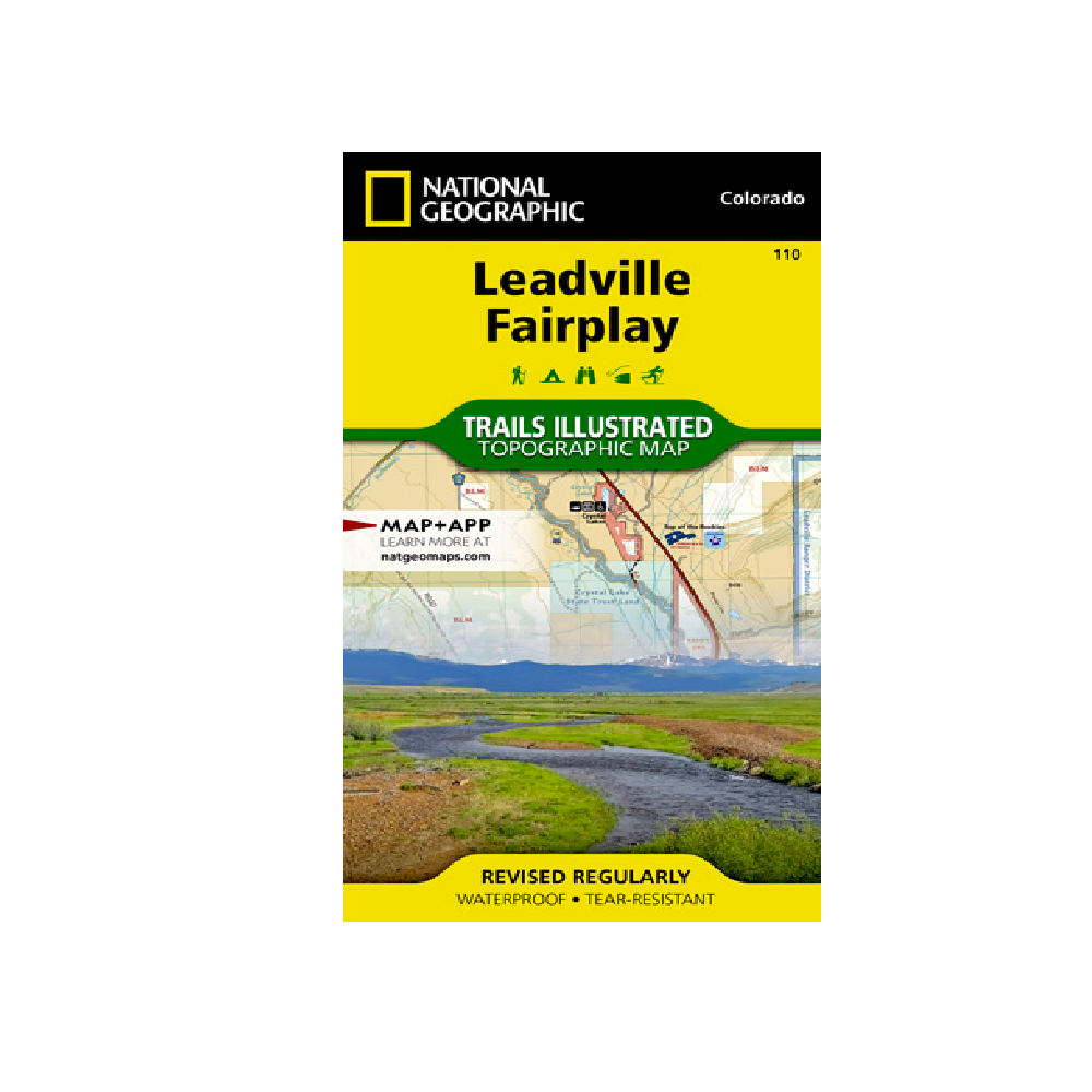
National Geographic 110: Leadville | Fairplay Map
National Geographic's Trails Illustrated map of Leadville and Fairplay is designed to meet the needs of outdoor enthusiasts by combining valuable information with unmatched detail of this popular destination for year-round recreation. Created in partnership with local land management agencies, this expertly researched map features key areas of interest including Twin Lakes and Clear Creek reservoirs; Arkansas River; Mount Massive Lakes; and portions of the Top of the Rockies and Collegiate Peaks scenic byways.
With miles of clearly marked trails including portions of the Colorado and Continental Divide trails, this map will prove invaluable in your exploration of the region. Trail mileage between intersections will help you choose the path that's right for you. Cyclists will appreciate the detail paid to the many paved and mountain bike trails in the region. Cross country ski, snowmobile, and motorized trails are included as well. Road types are differentiated, so you know if the route you choose is a four-wheel-drive or high-clearance road. The map base includes contour lines and elevations for summits and passes. Recreation features are clearly marked, including campgrounds, trailheads, river access, fishing areas, boat launches, and more.
Every Trails Illustrated map is printed on "Backcountry Tough" waterproof, tear-resistant paper. A full UTM grid is printed on the map to aid with GPS navigation.
Other features found on this map include: Buffalo Peaks Wilderness, Mosquito Range, Mount Sherman, Pike National Forest, San Isabel National Forest.
Add to cart
National Geographic 101: Cache La Poudre | Big Thompson Map
Outdoor enthusiasts looking to enjoy the recreational opportunities just east of Rocky Mountain National Park will find National Geographic's Trails Illustrated map of Cache La Poudre and Big Thompson an essential travel companion.
More info
$14.99
($14.99 Total)
