
- All products are added to your cart.

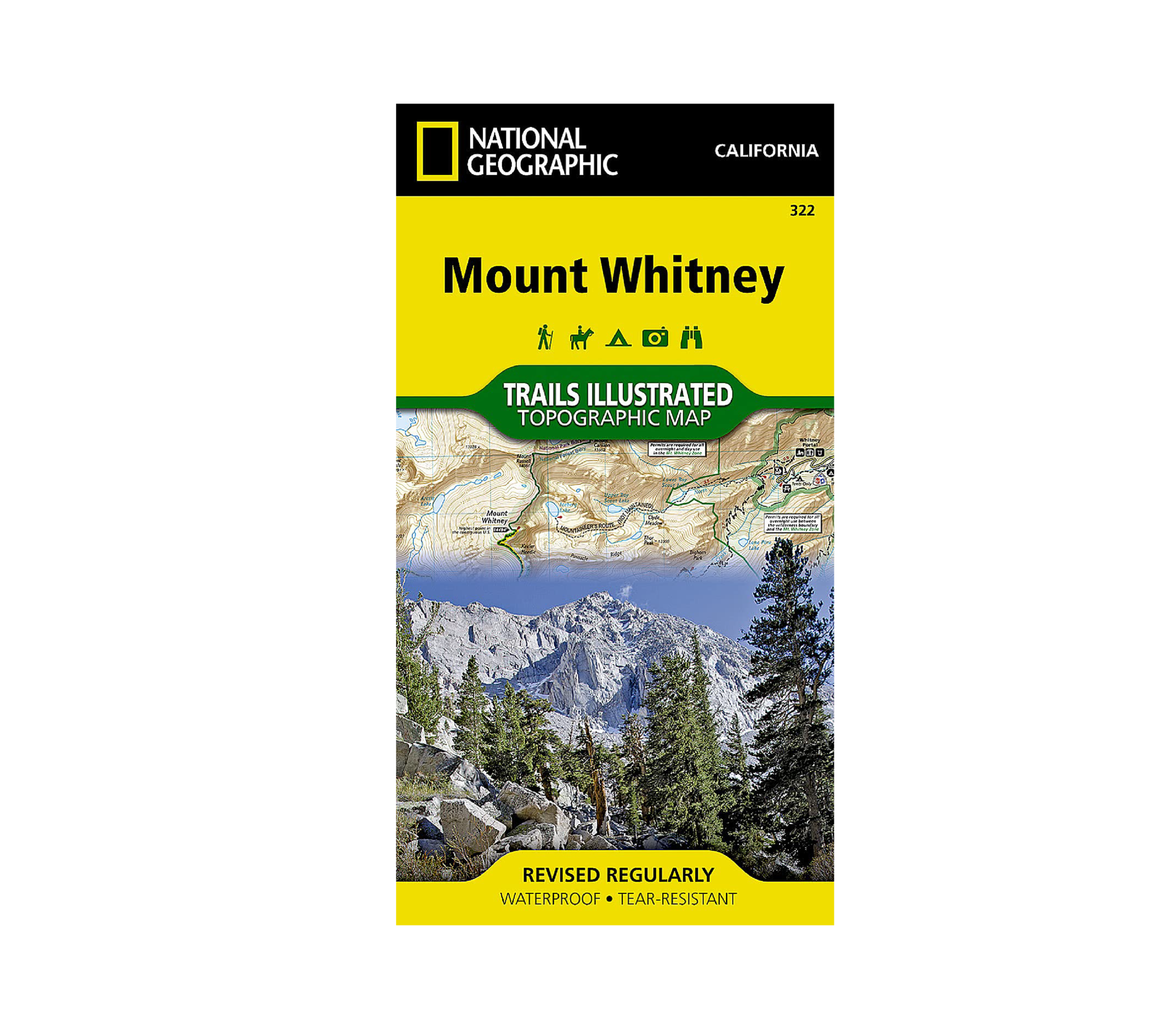

National Geographic 322: Mount Whitney Map
National Geographic's Trails Illustrated map of Mount Whitney delivers unmatched detail and valuable information to assist you in your exploration of this beautiful region. Expertly researched and created in partnership with local land management agencies, this map features key areas of interest including Sequoia, Kings Canyon, and Inyo national parks; Sequoia-Kings Canyon and John Muir wildernesss areas; South Fork Kern River; Diaz Lake; and Cottonwood Lakes.
With miles of mapped trails including the popular Pacific Crest and John Muir trails, this map can guide you off the beaten path and back again in some of the most breathtaking scenery in the region. The clearly marked trails include mileage between intersections. A Mount Whitney trail profile inset showing the changes in altitude from various points along the Pacific Crest Trail Junction and the Whitney Portal Trailhead provides a handy tool for hikers. Scenic byways are noted for those wishing to take in the scenery by car. The map base includes contour lines and elevations for summits, passes and many lakes. Some of the many recreation features noted are campgrounds, trailheads, boat launches, swimming and fishing areas, and pack stations. A variety of helpful information about climbing Mount Whitney, Inyo National Forest, Sequoia and Kings Canyon National Parks, safety tips, and more is included as well.
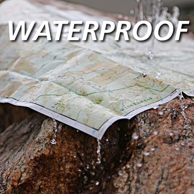
Every Trails Illustrated map is printed on "Backcountry Tough" waterproof, tear-resistant paper. A full UTM grid is printed on the map to aid with GPS navigation.
Add to cart
FERAL Denver Original Logo Shirt
This shirt has been all over the world. The original FERAL tee is a super soft wear-it-to-bed triblend tee.
More info
$24.99
($24.99 Total)