
- All products are added to your cart.


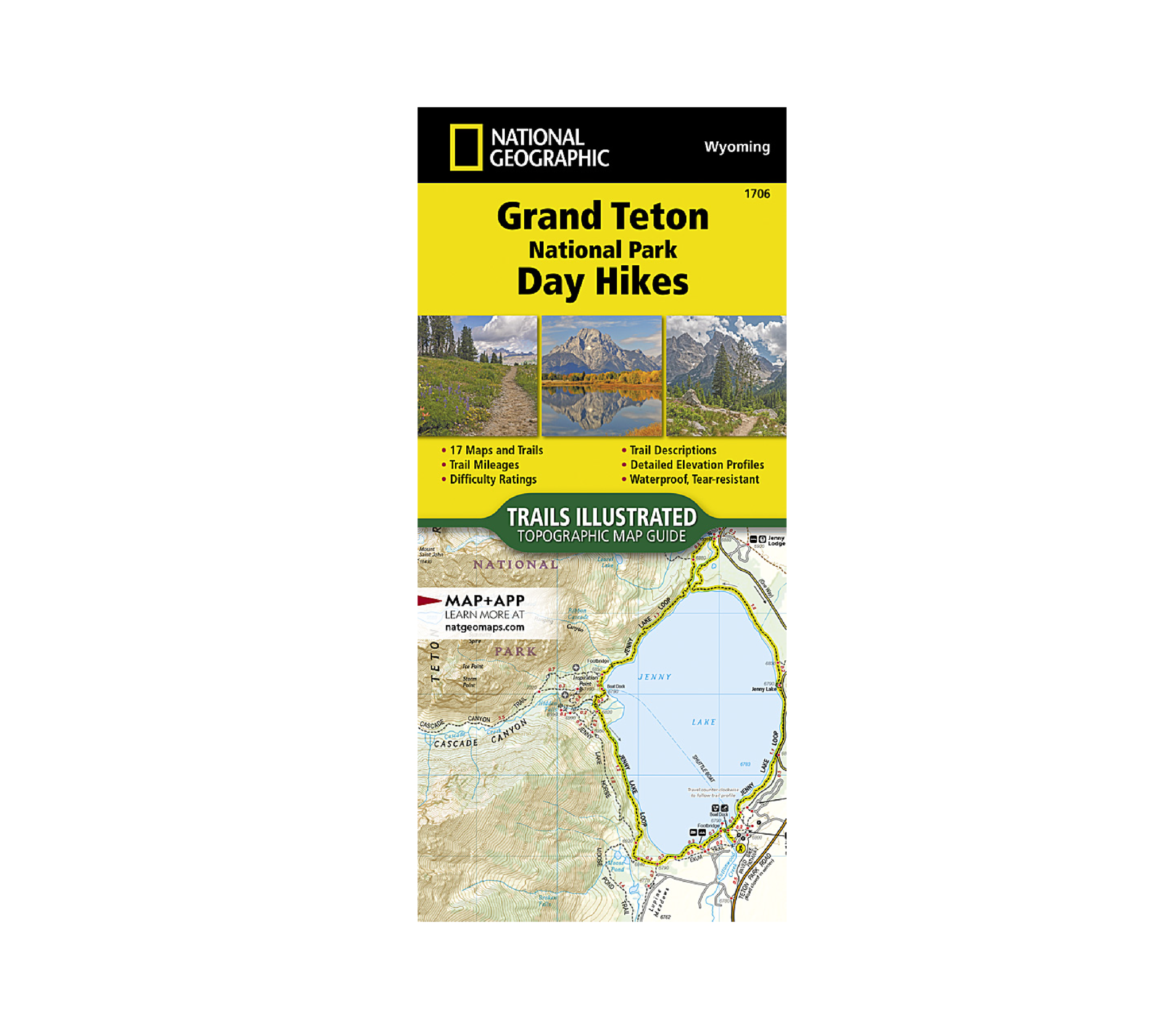
National Geographic Grand Teton National Park Day Hikes Map
For centuries Native Americans, including the Crow, Nez Perce, Shoshone, and Gros Ventre frequented the Teton region. In the early 1800's, many legendary mountain men, including John Colter, Jim Bridger, David Jackson and Jedediah Smith, passed beneath these lofty spires. Later came Thomas Moran, Teddy Roosevelt, John D. Rockefeller, and Ansel Adams. These, and millions who followed, have been touched by the Teton's rugged peaks, awesome canyons, sparkling clear alpine lakes, plentiful wildlife, powerful glaciers and spectacular wildflower displays. Within these Teton trails you'll find a unique sense of awe awaiting around every corner.
This Grand Teton National Park Day Hikes Topographic Map Guide contains detailed maps for 17 of Grand Teton's finest day hikes. It includes well-known hikes, together with a few off-the-beaten-path trails. They range from easy strolls to strenuous climbs, selected to give you a wonderful sampling of all the park has to offer. Together, they cover more than 100 miles of adventures. One-third of the selected hikes are less than 6 miles long, two-thirds are less than 8 miles, and only one hike is longer than 11 miles.
Each of the 17 maps include directions to the trailhead, the total distance to complete the hike, and an estimate of the degree of difficulty. Also provided are elevations of key points on the trail, an elevation profile for the hike, and a calculation of the total elevation gained over the hike's course. Trail descriptions found on the next page will help you find the hikes that best suit your interests and conditioning.
More convenient and easier to use than folded maps, but just as compact and lightweight, National Geographic's Topographic Map Guide booklets are printed on "Backcountry Tough" waterproof, tear-resistant paper with stainless steel staples. A full UTM grid is printed on the map to aid with GPS navigation.
Add to cart
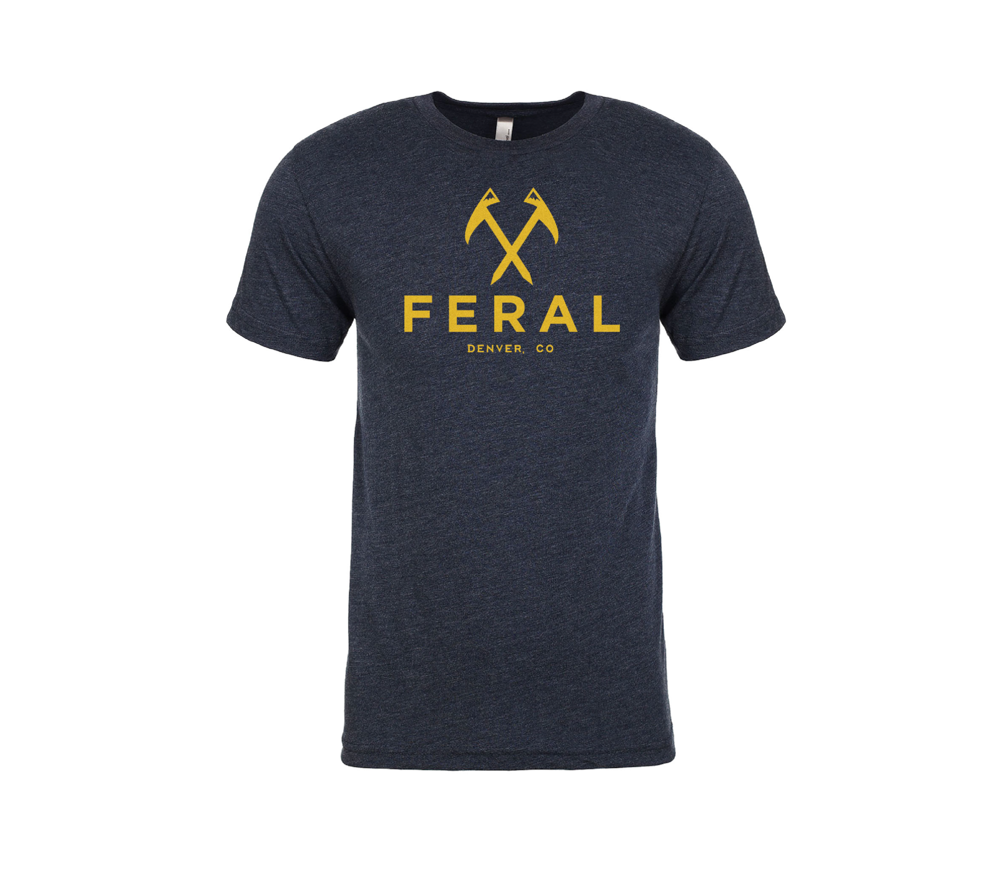
FERAL Denver Original Logo Shirt
This shirt has been all over the world. The original FERAL tee is a super soft wear-it-to-bed triblend tee.
More info
$24.99
($24.99 Total)