
- All products are added to your cart.
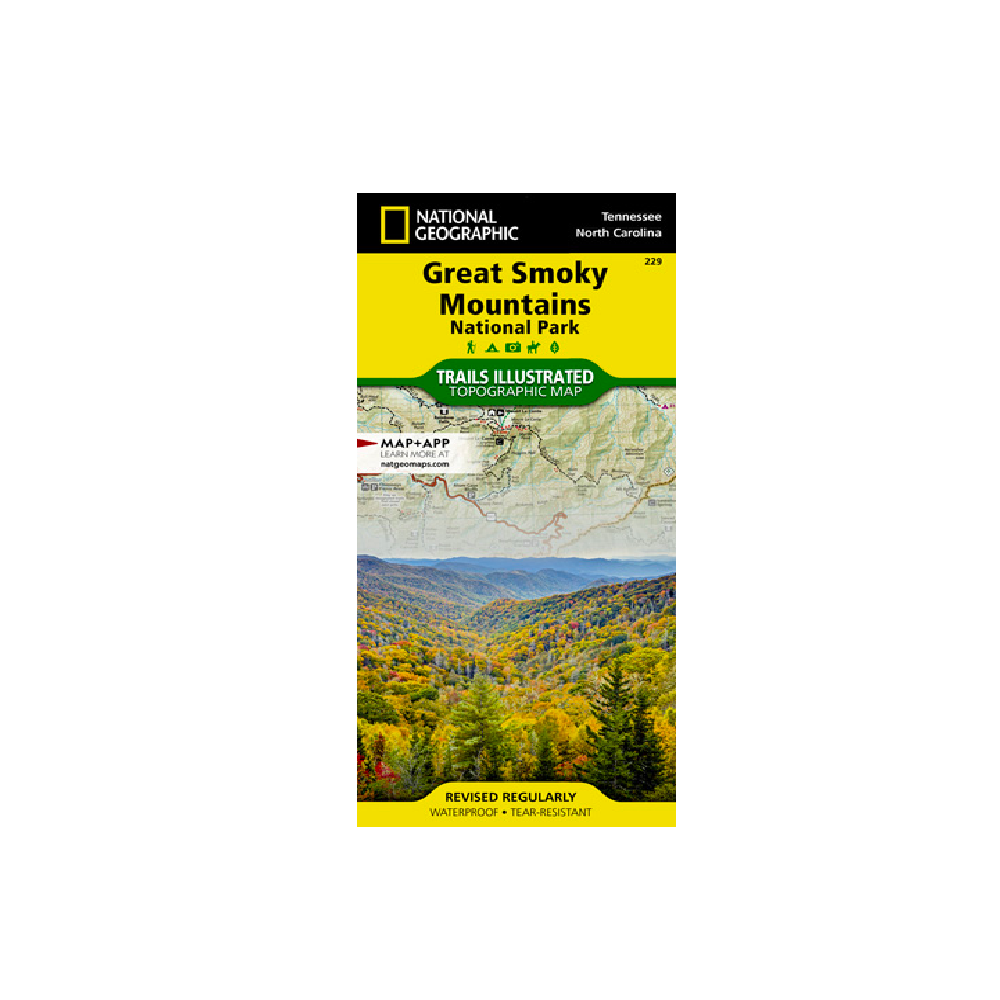
National Geographic 229: Great Smoky National Park Map
A detailed profile of the Appalachian National Scenic Trail, which snakes along the ridge of the Great Smoky Mountains, provides a handy tool for hikers. The map features many key points of interest as well, including Cades Cove, Fontana Lake, Maryville, and Gatlinburg.
With over 800 miles of mapped trails, the Great Smoky Mountains National Park map can guide you off the beaten path and back again. The clearly marked trails include mileages between intersections. The map base includes contour lines and elevations for summits, passes and many lakes. Some of the many recreation features include: visitor centers, campgrounds, trail shelters, trailheads, boat ramps, scenic overlooks, interpretive trails and quiet walkways.
Every Trails Illustrated map is printed on "Backcountry Tough" waterproof, tear-resistant paper. A full UTM grid is printed on the map to aid with GPS navigation.
Other features found on this map include: Cherokee National Forest, Chilhowee Mountain, Clingmans Dome, Fontana Lake, Great Smoky Mountains, Maryville, Mount Chapman, Mount Le Conte, Nantahala National Forest, Newfound Gap, Old Black, Pisgah National Forest, Waynesville.
Add to cart
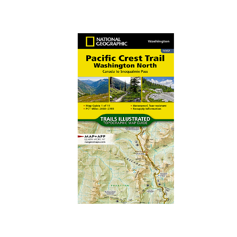
National Geographic 1002: Pacific Crest Trail North Map
The Washington North Topographic Map Guide follows the Pacific Crest Trail (PCT) as it traverses the heart of the northern Cascades.
More info
$14.99
($14.99 Total)

Add to cart
Wildsam Great Smoky Mountains Guide
In this fresh look at America’s most visited national park, explore the Smokies’ hills and hollows.
More info
$20.00
($20.00 Total)
