
- All products are added to your cart.
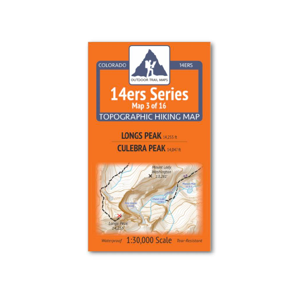
Outdoor Trail Maps 14er Series : Longs Peak | Culebra Peak Map
14ers Series Topographic Hiking Map 3 of 16 covers fourteeners Longs Peak on the front side and Culebra Peak on the back, including all hiking trails in the surrounding areas. This rugged trail map was designed for on-trail use in the toughest outdoor conditions and includes the following features:
- Waterproof and tear-resistant paper
- Ultralight weight – under an ounce
- Detailed 1:30,000 scale (1 inch ≈ ½ mile)
- Distances for all trail segments
- Compact folded size to fit in your pocket – only 3.8” wide by 6.5” tall
- Convenient size and foldability for quick and easy on-trail review – 19” wide by 13” tall unfolded – no more fumbling with huge maps while on the go
- All fourteener trailheads – not just the popular ones – with GPS coordinates
- GPS coordinates for all key trail junctions
- Route difficulty classes for each peak
- UTM 1000 m grid along with latitude-longitude ticks
- Easy-to-read and intuitive
Important note: Culebra peak is on private property, and any hiking and climbing must be arranged in advance with the land owner (Cielo Vista Ranch).
Unlike most of the other maps in the 14ers series, the fourteeners on each side of Map 3 are located far across the state from one another. The front side shows Longs Peak in the Front Range - the northernmost Colorado fourteener - along with a large section of the surrounding Rocky Mountain National Park trail system. This includes access from Longs Peak Trailhead from the east via East Longs Peak Trail as well as access from the North via Bear Lake, Sprague Lake and Bierstadt Lake Trailheads via North Longs Peak Trail, Boulder Brook Trail and Glacier Gorge Trail.
Culebra Peak on the back side of Map 3 is in the Sangre de Cristo Range and is the southernmost fourteener in Colorado. It also has the distinction of being completely on and surrounded by private property as part of the Sangre de Cristo land grant, with access controlled by the property owner (currently Cielo Vista Ranch Co.). The Culebra Peak map shows the Ranch North Headquarters gate location and coordinates (where hikers coordinate with Ranch staff) along with the trailheads and primitive routes to Culebra Peak and nearby Red Mountain.
Add to cart
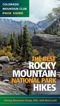
The Best Rocky Mountain National Park Hikes Book
Rocky Mountain National Park hikes chosen and reported on by experienced members of the Colorado Mountain Club
More info
$12.99
($12.99 Total)

Add to cart
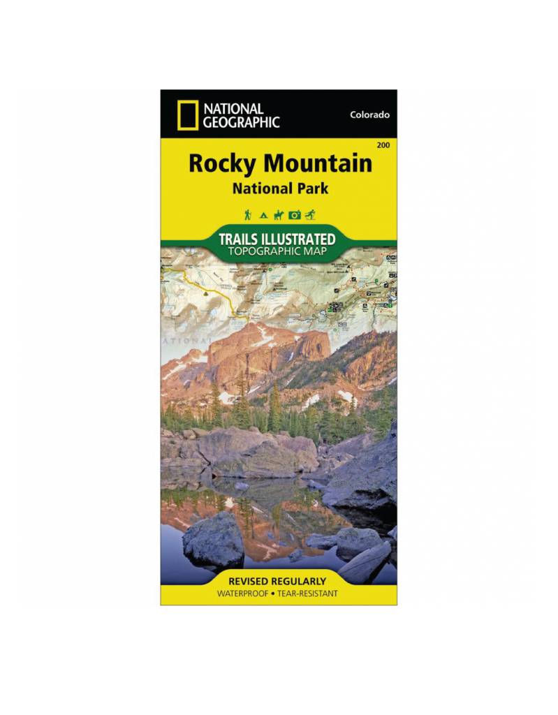
National Geographic 200: Rocky Mountain National Park Map
• Waterproof • Tear-Resistant • Topographic Map
More info
$14.99
($14.99 Total)
