
- All products are added to your cart.

National Geographic 118: Steamboat Springs | Rabbit Ears Map
Expertly researched and created in partnership with local land management agencies, this map features key points of interest including Stagecoach and Fish Creek reservoirs; Steamboat Ski Area; Yampa River; Sarvis Creek Wilderness; the cities of Steamboat Springs, Oak Creek and
Muddy Pass; and a portion of the Continental Divide Trail.
Regardless of whether you're hiking, biking, cross-country skiing, or snowmobiling, this map will have the trail clearly marked according to use. The map base includes contour lines and elevations for summits, passes and many lakes. Recreation features are noted as well, including campgrounds, trailheads, interpretive trails, fishing areas, boat launches, and swimming and waterski areas.
Every Trails Illustrated map is printed on "Backcountry Tough" waterproof, tear-resistant paper. A full UTM grid is printed on the map to aid with GPS navigation.
Other features found on this map include: Arapaho National Forest, Routt National Forest, Sarvis Creek Wilderness, Steamboat Springs.
Add to cart
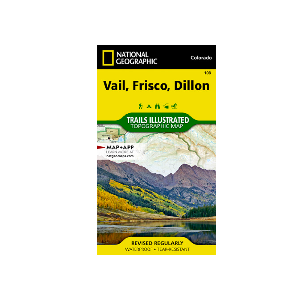
National Geographic 108: Vail | Frisco | Dillon Map
National Geographic's Trails Illustrated map of Vail, Frisco, and Dillon is an unparalleled tool for exploring this region of the Colorado Rockies.
More info
$14.99
($14.99 Total)

Add to cart
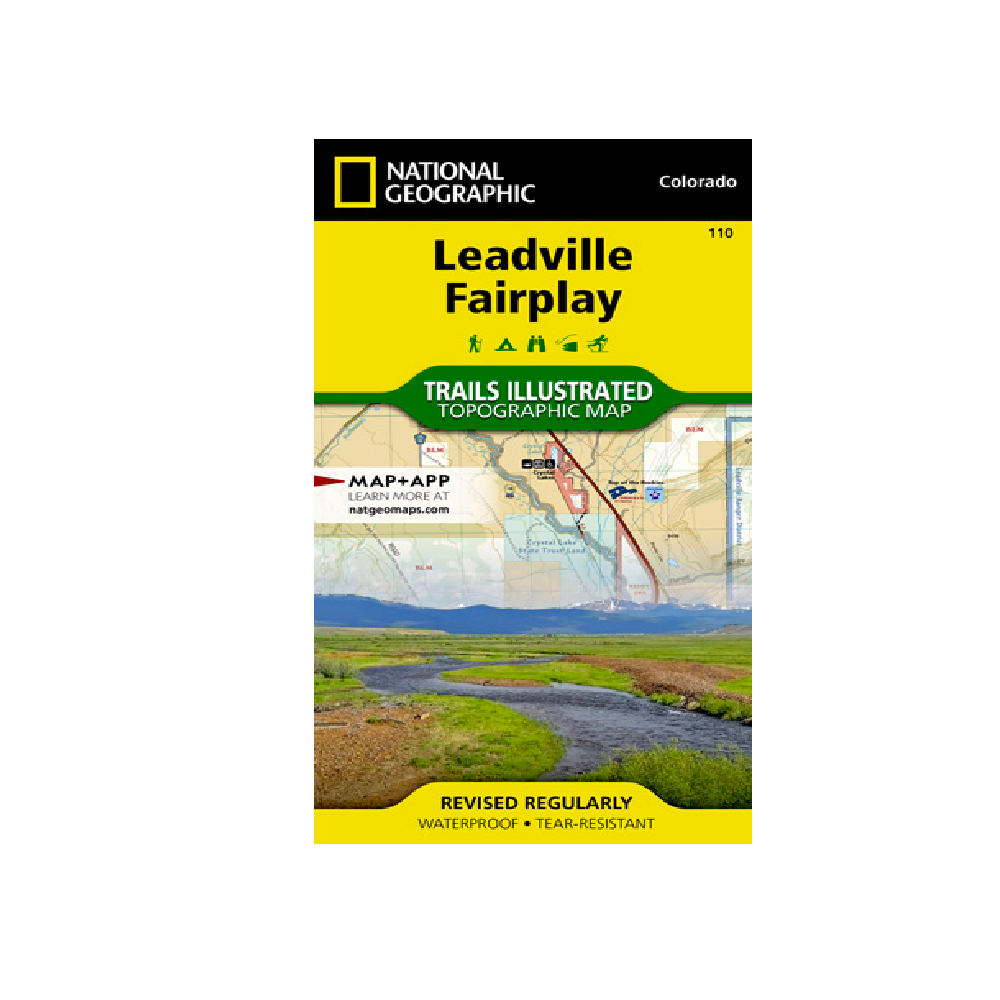
National Geographic 110: Leadville | Fairplay Map
Nestled in a high mountain valley surrounded by snowcapped peaks, former mining town Leadville, Colorado is the highest incorporated city in the United States.
More info
$14.99
($14.99 Total)

Add to cart
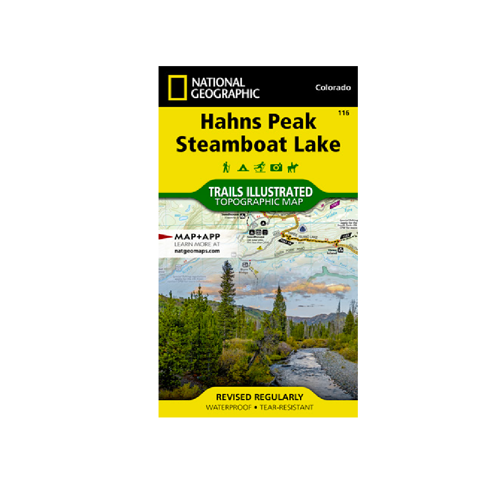
National Geographic 116: Hahns Peak | Steamboat Lake Map
Expertly researched and created in partnership with local land management agencies, National Geographic's Trails Illustrated map of Hahns Peak and Steamboat Lake provides an unparalleled tool for exploring this magnificent region of northern Colorado.
More info
$14.99
($14.99 Total)
