
- All products are added to your cart.
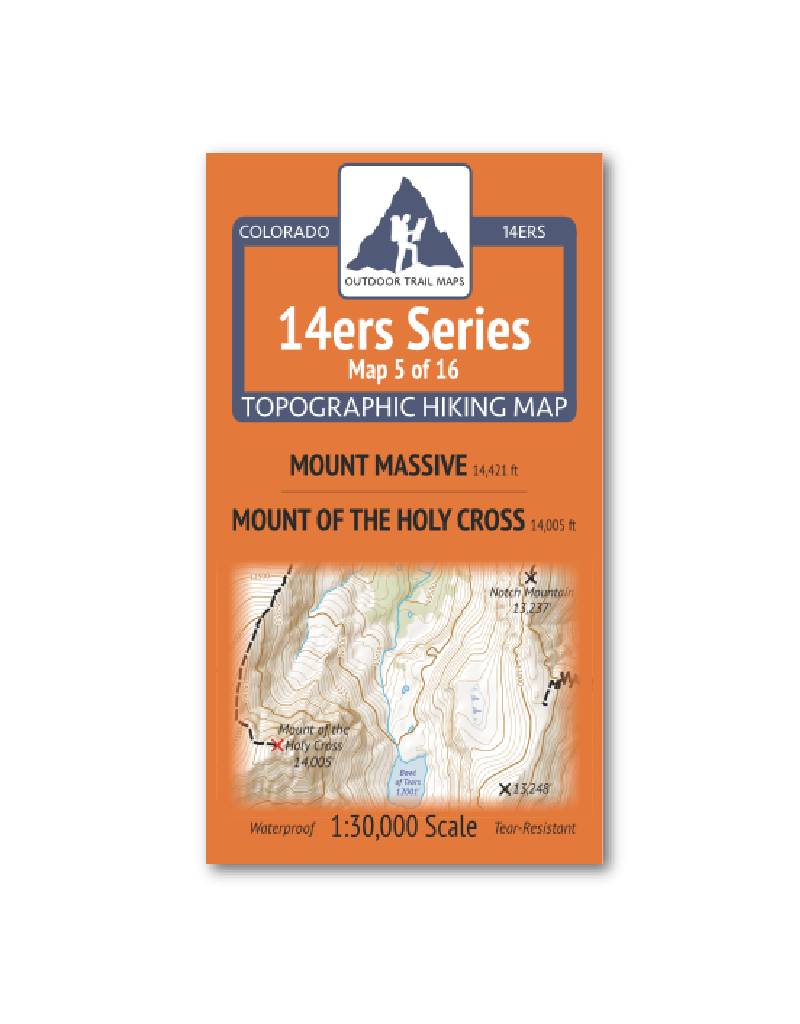
Outdoor Trail Maps 14er Series : Mount Massive | Mount of the Holy Cross Map
14ers Series Topographic Hiking Map 5 of 16 covers fourteeners Mount Massive on the front side and Mount of the Holy Cross on the back, including all hiking trails in the surrounding areas. This rugged trail map was designed for on-trail use in the toughest outdoor conditions and includes the following features:
- Waterproof and tear-resistant paper
- Ultralight weight – under an ounce
- Detailed 1:30,000 scale (1 inch ≈ ½ mile)
- Distances for all trail segments
- Compact folded size to fit in your pocket – only 3.8” wide by 6.5” tall
- Convenient size and foldability for quick and easy on-trail review – 19” wide by 13” tall unfolded – no more fumbling with huge maps while on the go
- All fourteener trailheads – not just the popular ones – with GPS coordinates
- GPS coordinates for all key trail junctions
- Route difficulty classes for each peak
- UTM 1000 m grid along with latitude-longitude ticks
- Easy-to-read and intuitive
The front of 14ers Map 5 shows access to Mount Massive from the North Halfmoon Trailhead and the Colorado Trail, along with the North Halfmoon Lakes area and the trails in the vicinity of the Leadville National Fish Hatchery.
In addition to the main trail to the Mount of the Holy Cross from Halfmoon Trailhead from the north, the back of Map 5 includes a large section of the Holy Cross Wilderness such as the Notch Mountain Trail, Missouri Lakes Trail and surrounding Missouri Lakes area, the Holy Cross City area, the entire Fall Creek Trail and Tuhare Lakes area and the Cross Creek Trail including the Missouri Lakes Trailhead and Fancy Creek Trailhead in the south. This is Map 5 of 16 14ers Maps covering all Colorado 14ers.
Add to cart
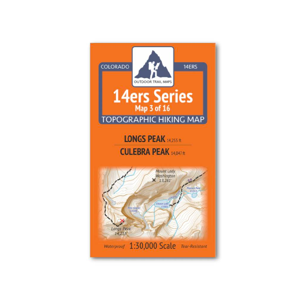
Outdoor Trail Maps 14er Series : Longs Peak | Culebra Peak Map
14ers Series Topographic Hiking Map 3 of 16 covers fourteeners Longs Peak on the front side and Culebra Peak on the back, including all hiking trails in the surrounding areas.
More info
$5.95
($5.95 Total)
