- All products are added to your cart.
Products tagged with 14er
Add to cart
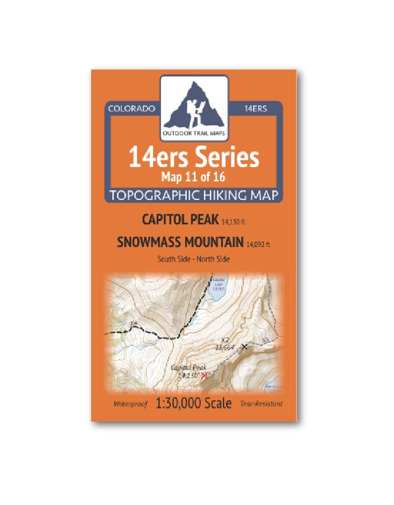
Outdoor Trail Maps 14er Series : Capitol | Snowmass Map
14ers Series Topographic Hiking Map 11 of 16 covers fourteeners Capitol Peak and Snowmass Mountain (south side) on the front and Capitol Peak (north side) on the back, including all hiking trails in the surrounding areas.
More info
$5.95
($5.95 Total)

Add to cart
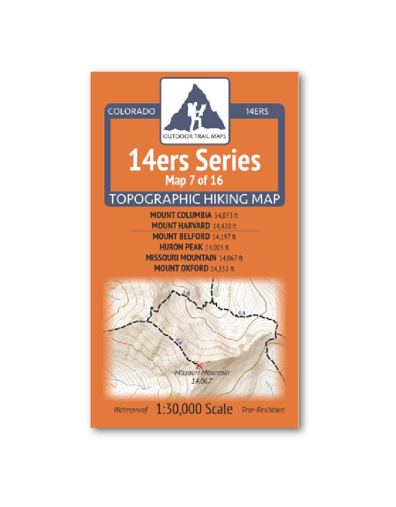
Outdoor Trail Maps 14er Series : Columbia | Harvard | Belford | Huron | Missouri | Oxford Map
14ers Series Topographic Hiking Map 7 of 16 covers fourteeners Mount Columbia and Mount Harvard on the front side and Mount Belford, Huron Peak, Missouri Mountain and Mount Oxford on the back, including all hiking trails in the surrounding areas.
More info
$5.95
($5.95 Total)

$5.95
($5.95 Total)
Add to cart
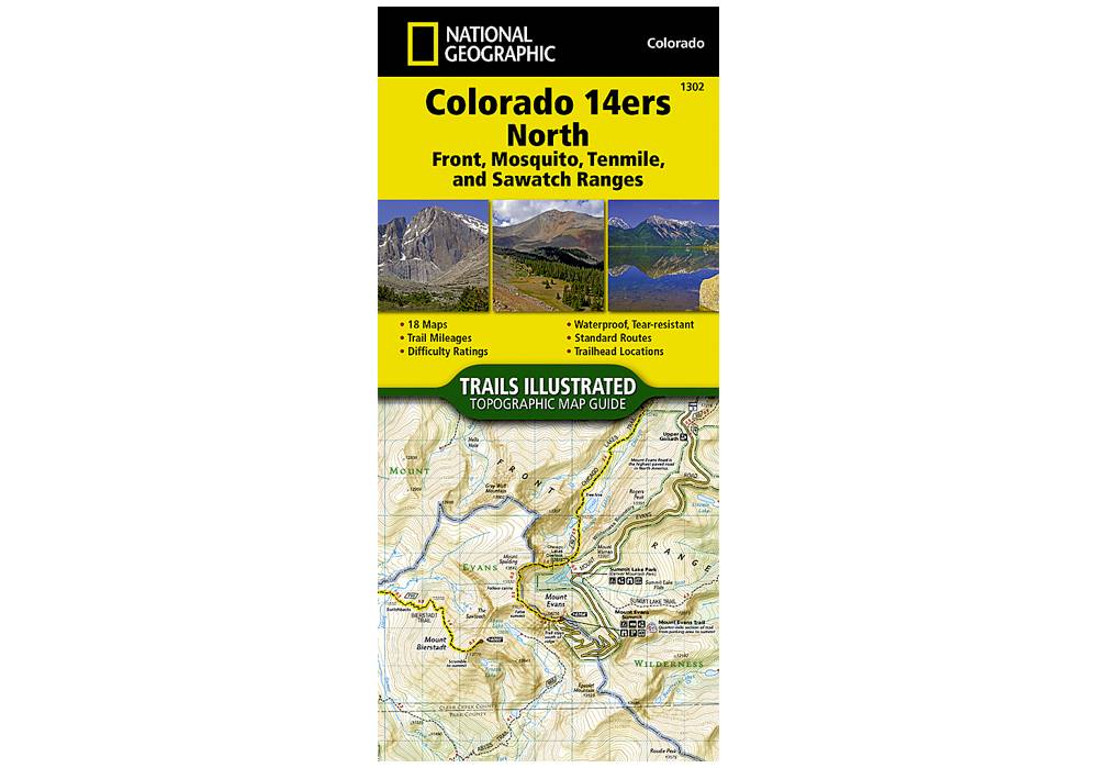
National Geographic 1302: Colorado 14ers North | Front | Mosquito | Tenmile | Sawatch Ranges Map
Colorado has the highest mean elevation of any state in the United States. It's home to 58 mountain peaks higher than 14,000 feet—more than any other state in the U.S—making it a mountain sports mecca.
More info
$14.99
($14.99 Total)

$14.99
($14.99 Total)
Add to cart
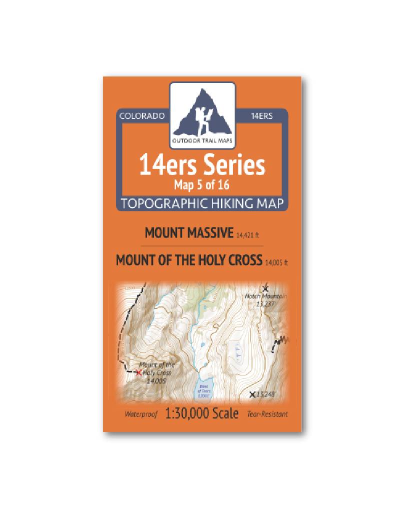
Outdoor Trail Maps 14er Series : Mount Massive | Mount of the Holy Cross Map
14ers Series Topographic Hiking Map 5 of 16 covers fourteeners Mount Massive on the front side and Mount of the Holy Cross on the back, including all hiking trails in the surrounding areas.
More info
$5.95
($5.95 Total)

Add to cart
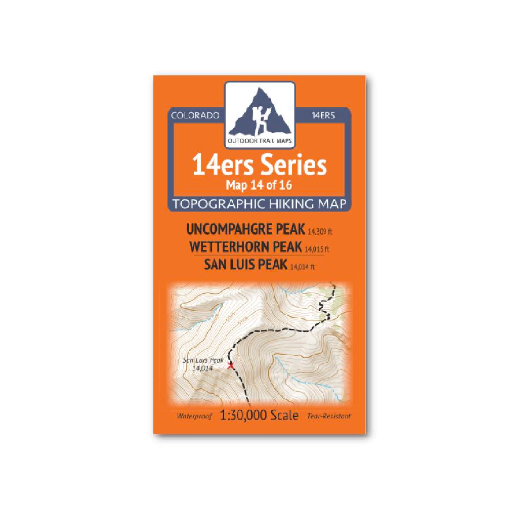
Outdoor Trail Maps 14er Series : Uncompahgre | Wetterhorn | San Luis Map
14ers Series Topographic Hiking Map 14 of 16 covers fourteeners Uncompahgre Peak and Wetterhorn Peak on the front side and San Luis Peak on the back, including all hiking trails in the surrounding areas.
More info
$5.95
($5.95 Total)

Add to cart
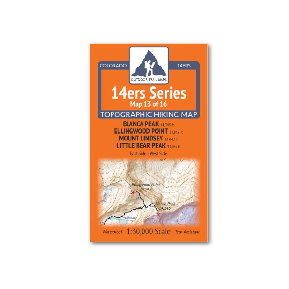
Outdoor Trail Maps 14er Series : Blanca | Ellingwood | Lindsey | Little Bear Map
14ers Series Topographic Hiking Map 13 of 16 covers fourteeners Blanca Peak, Ellingwood Point, Mount Lindsey and Little Bear Peak from the east side on the front of the map and from the west side on the back, including all hiking trails in the surrounding
More info
$5.85
($5.85 Total)

$5.85
($5.85 Total)
Add to cart
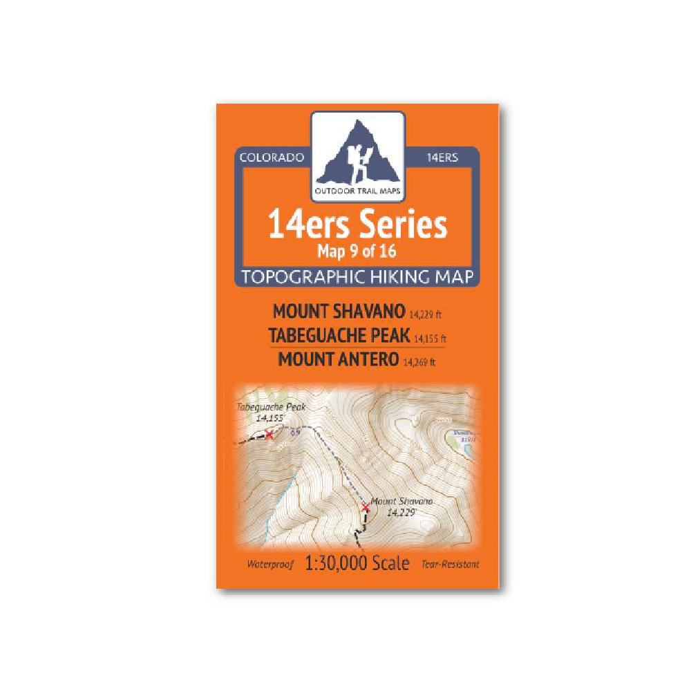
Outdoor Trail Maps 14er Series : Shavano | Tabeguache | Antero Map
14ers Series Topographic Hiking Map 9 of 16 covers fourteeners Mount Shavano and Tabeguache Peak on the front side and Mount Antero on the back, including all hiking trails in the surrounding areas.
More info
$5.95
($5.95 Total)

Add to cart
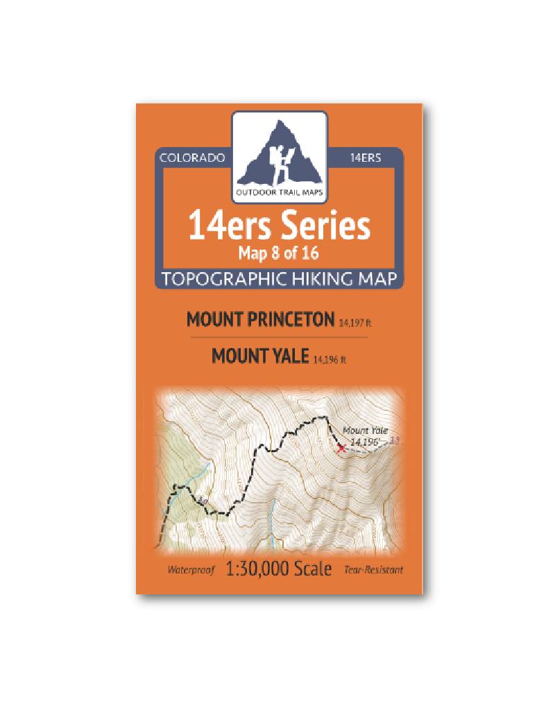
Outdoor Trail Maps 14er Series : Princeton | Yale Map
14ers Series Topographic Hiking Map 8 of 16 covers fourteeners Mount Princeton on the front side and Mount Yale on the back, including all hiking trails in the surrounding areas.
More info
$5.95
($5.95 Total)

Add to cart
Colorado 14er Disasters
Colorado 14er Disasters explores the disturbingly easy ways that hikers become stranded, severely injured, or killed on the state’s high alpine peaks.
More info
$18.95
($18.95 Total)

Add to cart
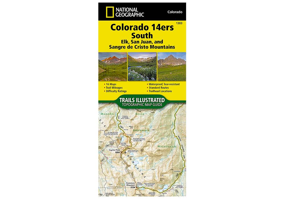
National Geographic 1303: Colorado 14ers South Map Guide (San Juan, Elk, and Sangre de Cristo Mountains)
The Colorado 14ers South Topographic Map Guide provides the most accurate and convenient set of maps for the fourteeners of the Elk, San Juan, and Sangre de Cristo ranges of southern Colorado.
More info
$14.99
($14.99 Total)
")