- All products are added to your cart.
More
Add to cart
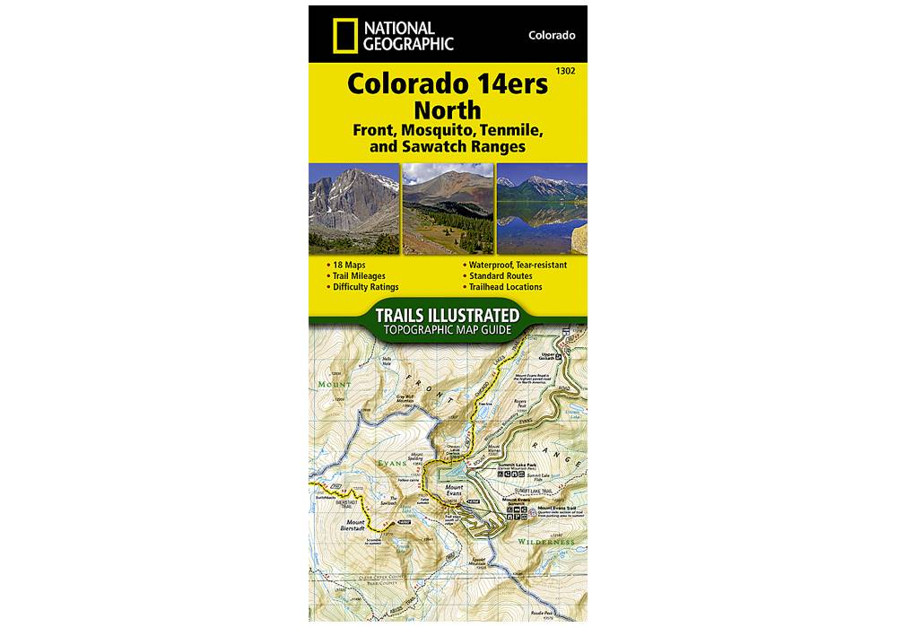
National Geographic 1302: Colorado 14ers North | Front | Mosquito | Tenmile | Sawatch Ranges Map
Colorado has the highest mean elevation of any state in the United States. It's home to 58 mountain peaks higher than 14,000 feet—more than any other state in the U.S—making it a mountain sports mecca.
More info
$14.99
($14.99 Total)

$14.99
($14.99 Total)
Add to cart
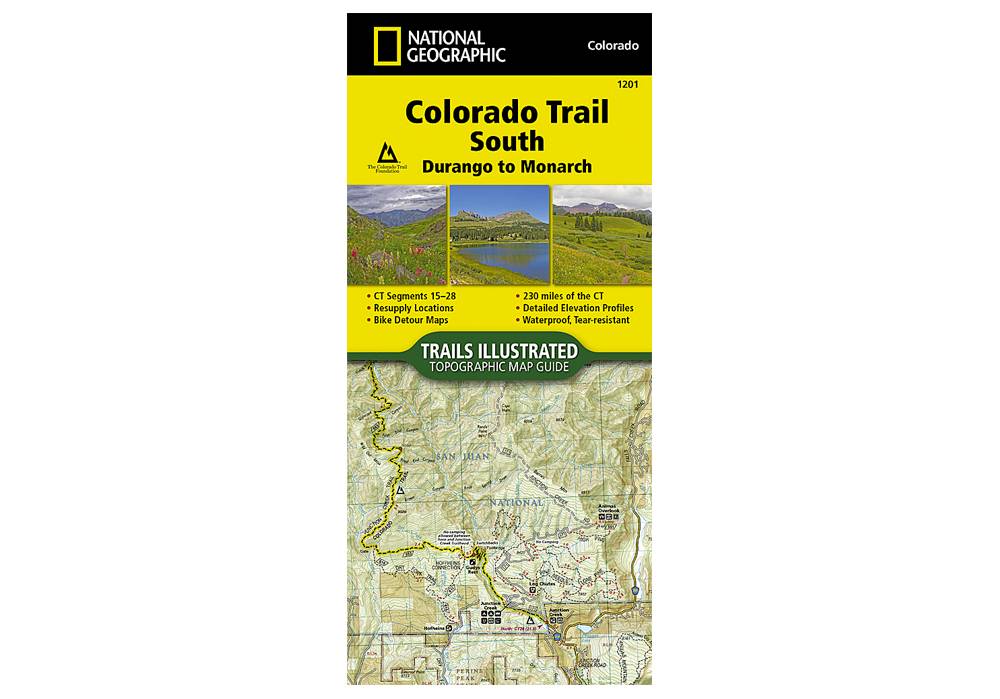
National Geographic 1201: Colorado Trail South Durango to Monarch Map
The Colorado Trail, South Topographic Map Guide has been designed as the perfect traveling companion when navigating the southern section of The Colorado Trail.
More info
$14.95
($14.95 Total)

Add to cart
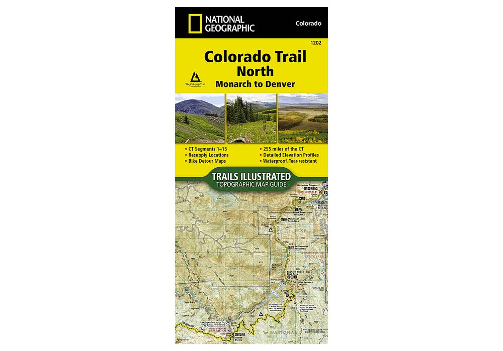
National Geographic 1202: Colorado Trail North Monarch to Denver Map
The Colorado Trail North Topographic Map Guide has been designed as the perfect traveling companion when navigating the north section of The Colorado Trail.
More info
$14.95
($14.95 Total)

Add to cart
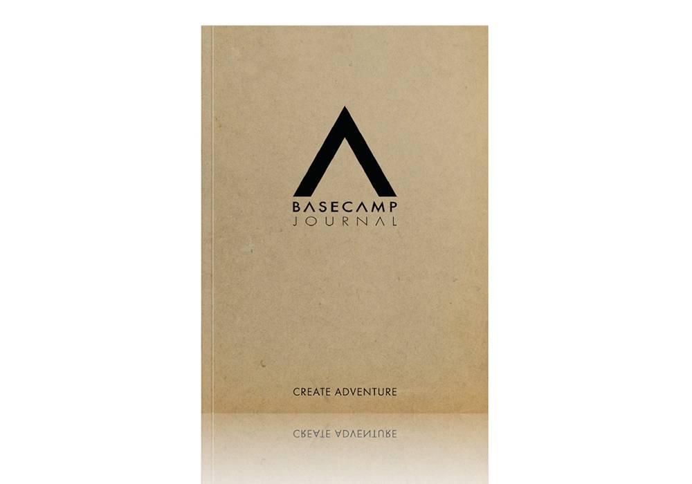
FERAL Basecamp Journal Paperback
Our mission is simple: create adventure. With this journal, you capture the details.
More info

Add to cart
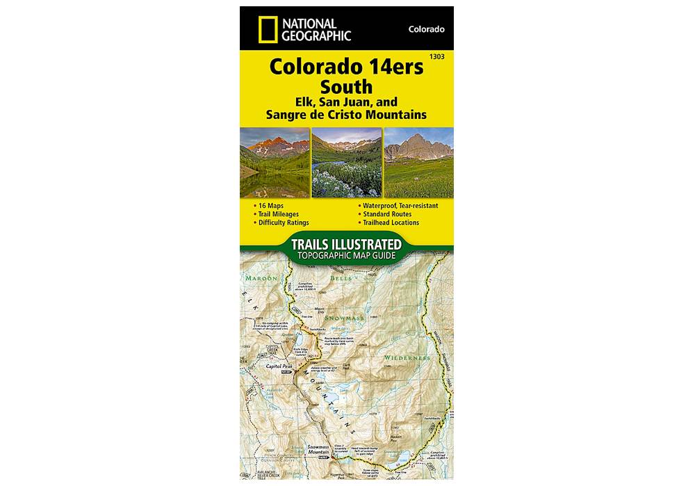
National Geographic 1303: Colorado 14ers South Map Guide (San Juan, Elk, and Sangre de Cristo Mountains)
The Colorado 14ers South Topographic Map Guide provides the most accurate and convenient set of maps for the fourteeners of the Elk, San Juan, and Sangre de Cristo ranges of southern Colorado.
More info
$14.99
($14.99 Total)
")
$14.99
($14.99 Total)
Add to cart
National Geographic 100: Boulder / Golden Map
National Geographic's Trails Illustrated map of Boulder and Golden combines unmatched detail with helpful information to offer an invaluable tool for making the most of your exploration of the central Colorado Front Range
More info
$14.99
($14.99 Total)

Add to cart
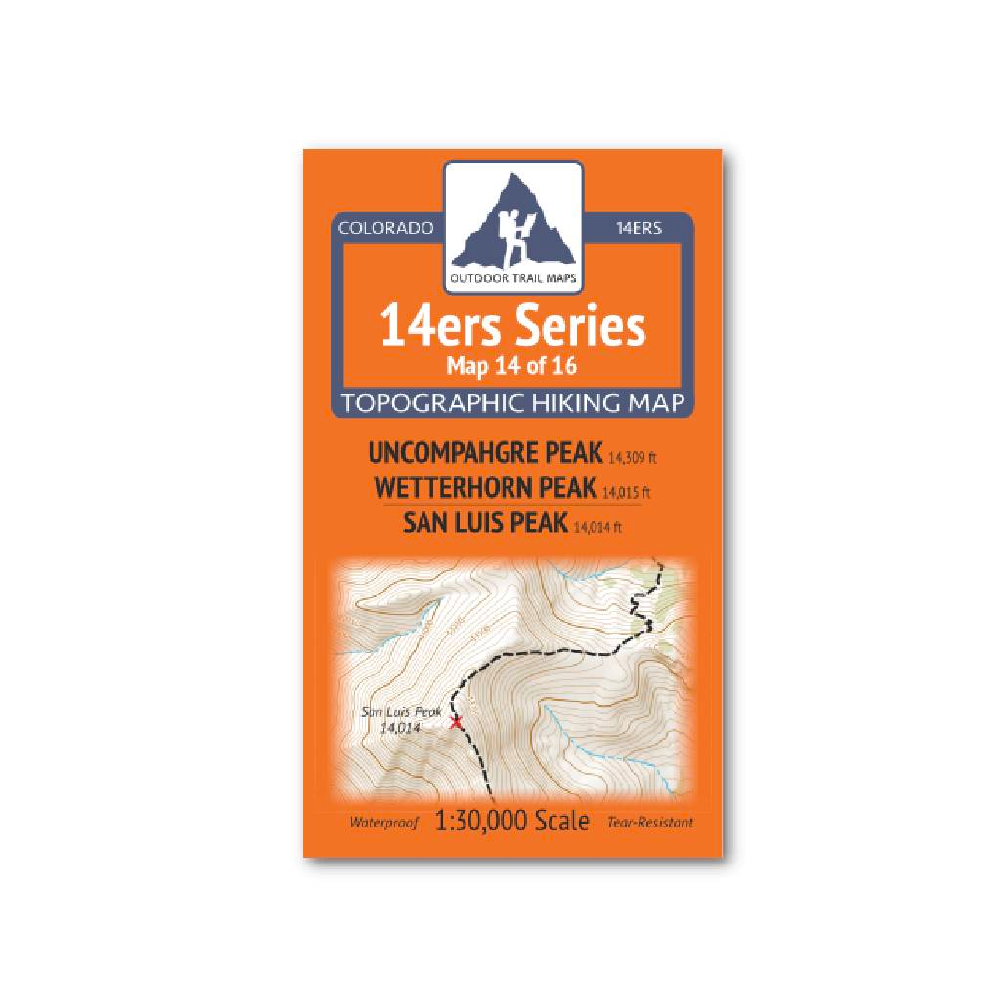
Outdoor Trail Maps 14er Series : Uncompahgre | Wetterhorn | San Luis Map
14ers Series Topographic Hiking Map 14 of 16 covers fourteeners Uncompahgre Peak and Wetterhorn Peak on the front side and San Luis Peak on the back, including all hiking trails in the surrounding areas.
More info
$5.95
($5.95 Total)

Add to cart
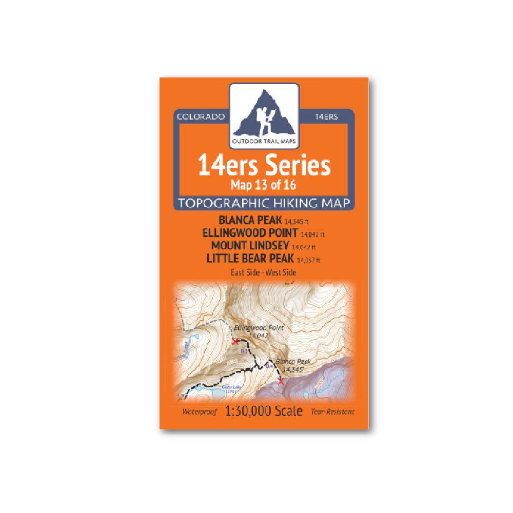
Outdoor Trail Maps 14er Series : Blanca | Ellingwood | Lindsey | Little Bear Map
14ers Series Topographic Hiking Map 13 of 16 covers fourteeners Blanca Peak, Ellingwood Point, Mount Lindsey and Little Bear Peak from the east side on the front of the map and from the west side on the back, including all hiking trails in the surrounding
More info
$5.85
($5.85 Total)

$5.85
($5.85 Total)
Add to cart
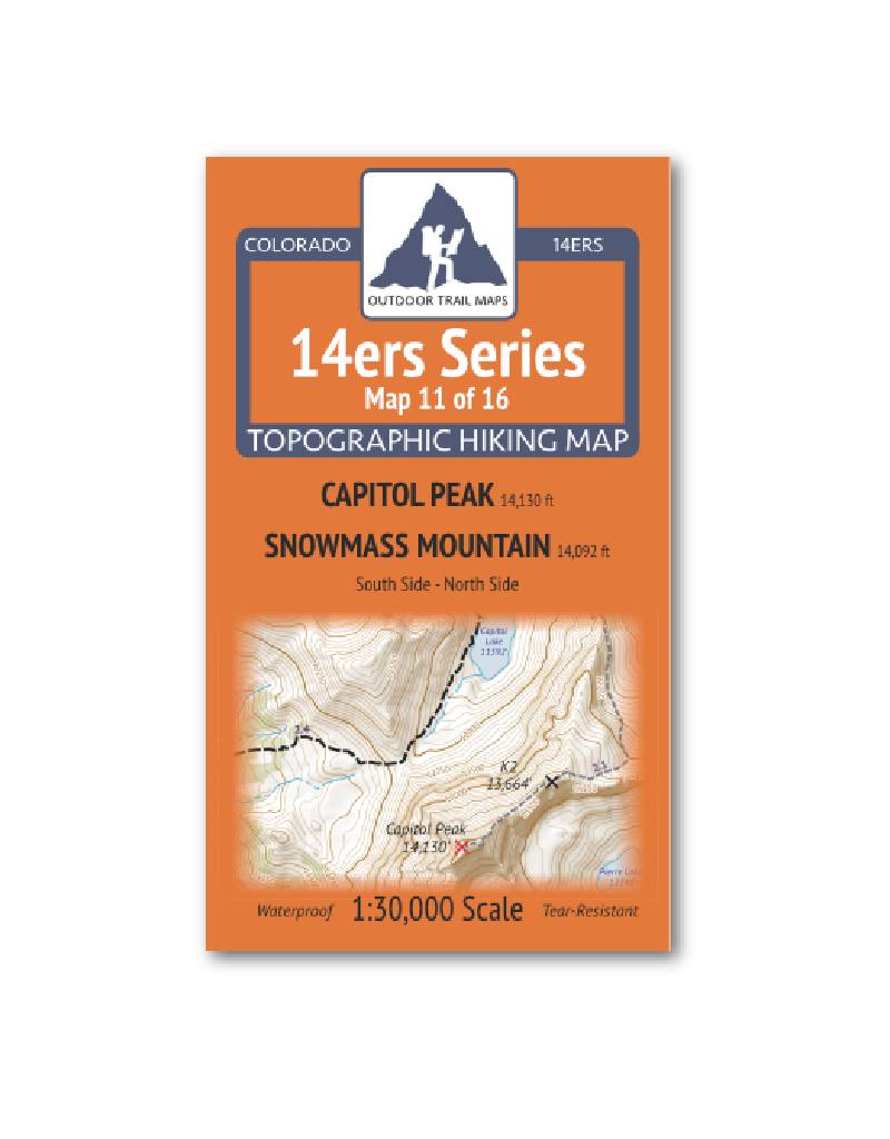
Outdoor Trail Maps 14er Series : Capitol | Snowmass Map
14ers Series Topographic Hiking Map 11 of 16 covers fourteeners Capitol Peak and Snowmass Mountain (south side) on the front and Capitol Peak (north side) on the back, including all hiking trails in the surrounding areas.
More info
$5.95
($5.95 Total)

Add to cart
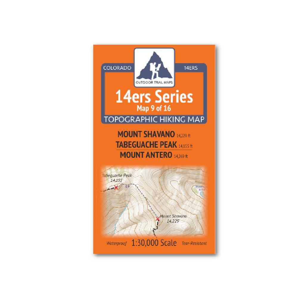
Outdoor Trail Maps 14er Series : Shavano | Tabeguache | Antero Map
14ers Series Topographic Hiking Map 9 of 16 covers fourteeners Mount Shavano and Tabeguache Peak on the front side and Mount Antero on the back, including all hiking trails in the surrounding areas.
More info
$5.95
($5.95 Total)

Add to cart
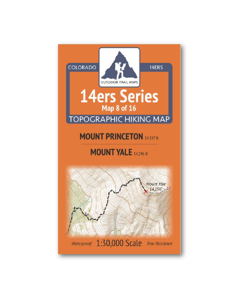
Outdoor Trail Maps 14er Series : Princeton | Yale Map
14ers Series Topographic Hiking Map 8 of 16 covers fourteeners Mount Princeton on the front side and Mount Yale on the back, including all hiking trails in the surrounding areas.
More info
$5.95
($5.95 Total)

Add to cart
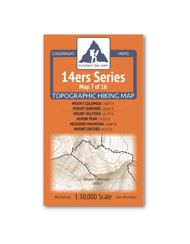
Outdoor Trail Maps 14er Series : Columbia | Harvard | Belford | Huron | Missouri | Oxford Map
14ers Series Topographic Hiking Map 7 of 16 covers fourteeners Mount Columbia and Mount Harvard on the front side and Mount Belford, Huron Peak, Missouri Mountain and Mount Oxford on the back, including all hiking trails in the surrounding areas.
More info
$5.95
($5.95 Total)

$5.95
($5.95 Total)
Add to cart
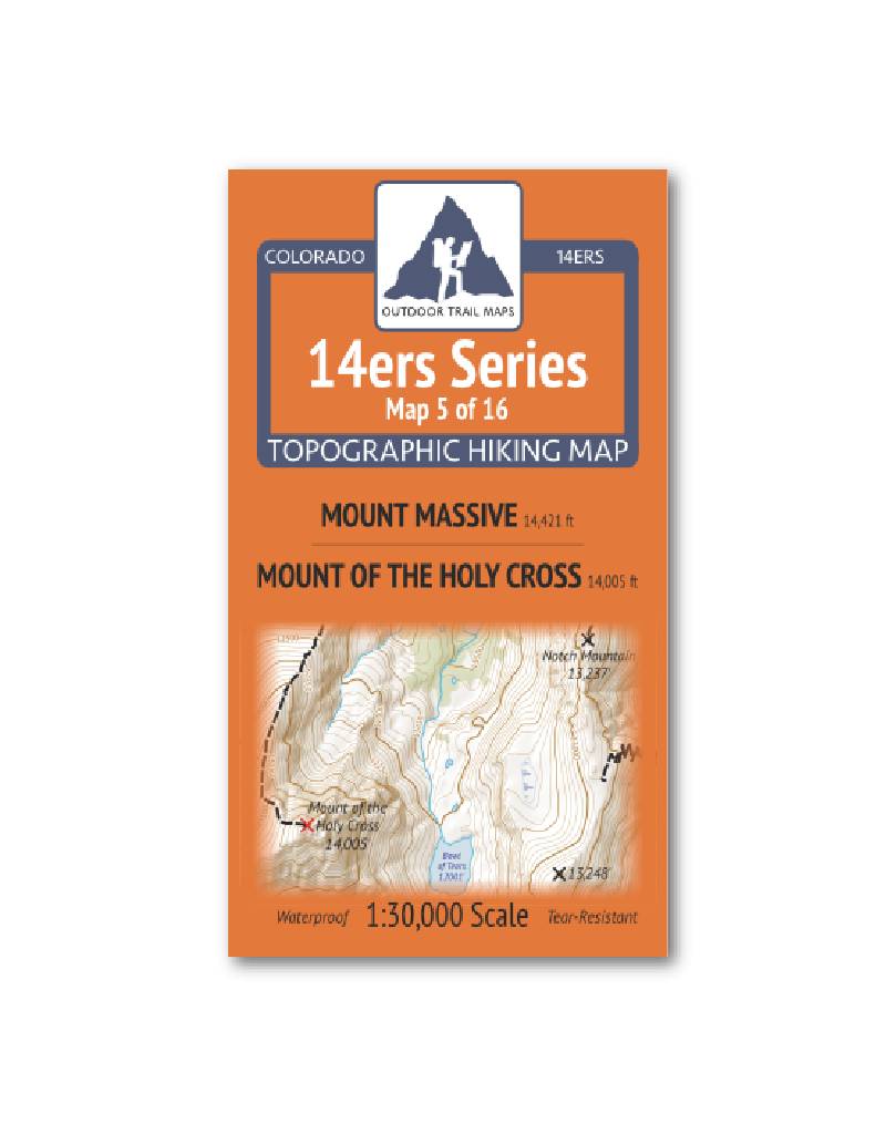
Outdoor Trail Maps 14er Series : Mount Massive | Mount of the Holy Cross Map
14ers Series Topographic Hiking Map 5 of 16 covers fourteeners Mount Massive on the front side and Mount of the Holy Cross on the back, including all hiking trails in the surrounding areas.
More info
$5.95
($5.95 Total)

Add to cart
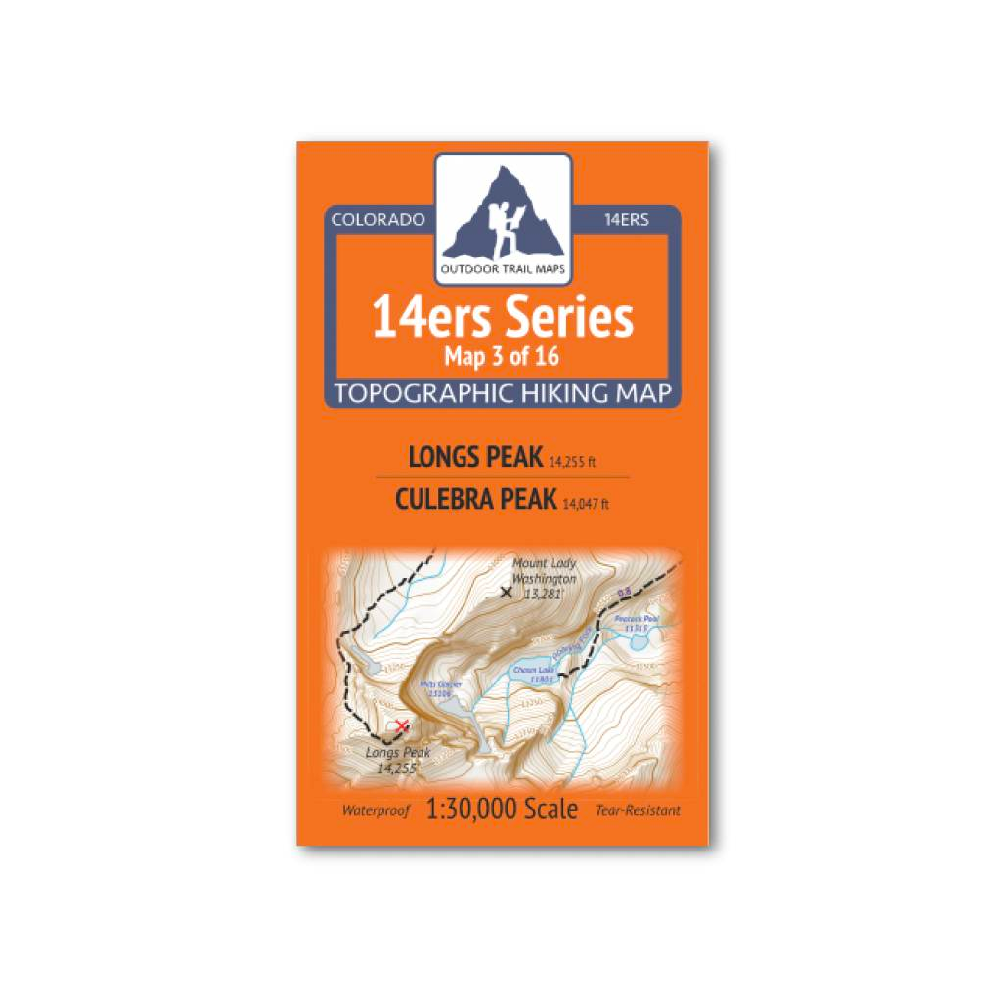
Outdoor Trail Maps 14er Series : Longs Peak | Culebra Peak Map
14ers Series Topographic Hiking Map 3 of 16 covers fourteeners Longs Peak on the front side and Culebra Peak on the back, including all hiking trails in the surrounding areas.
More info
$5.95
($5.95 Total)

Add to cart
75 Classic Rides Colorado : The Best Road Biking Routes
Includes rides ranging from easy to epic Features rides within easy distance from population centers, plus 2 multiple-day trips and 1 cross-state tour
More info
$24.99
($24.99 Total)

Add to cart
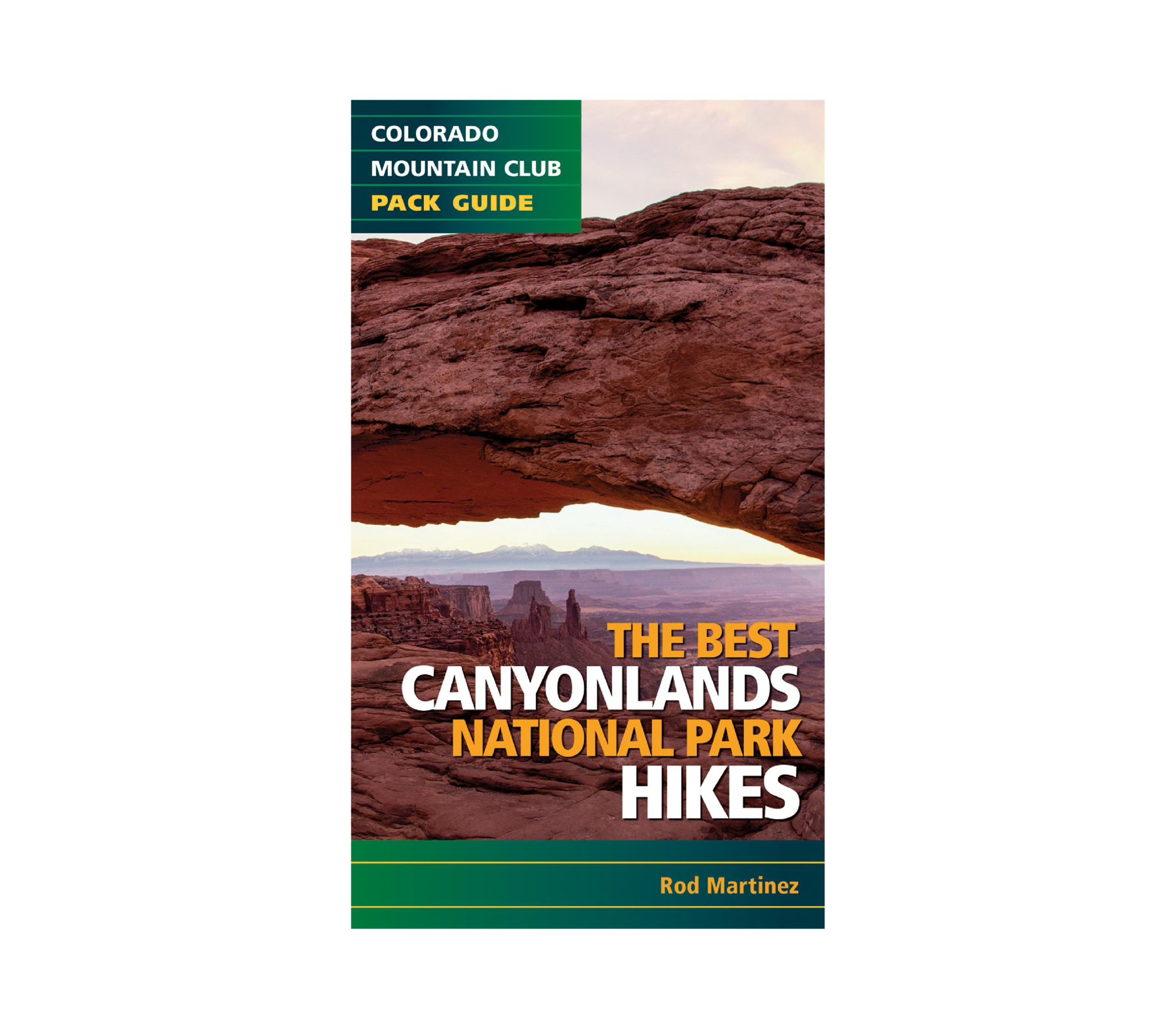
The Best Canyonlands National Park Hikes Book
The 20 hiking trails in this fit-in-your-pocket guide will help you explore Canyonlands National Park—337,570 acres of high-desert wonderland just southwest of Moab, Utah.
More info
$12.95
($12.95 Total)

Add to cart
Colorado 14er Disasters
Colorado 14er Disasters explores the disturbingly easy ways that hikers become stranded, severely injured, or killed on the state’s high alpine peaks.
More info
$18.95
($18.95 Total)

Add to cart
The Best Colorado Springs Hikes Book (Colorado Mountain Club Pack Guide)
Detailed directions and full-color maps help you find your way on the trails of Colorado Springs
More info
$14.99
($14.99 Total)
")
Add to cart
The Best Aspen Hikes Book (Colorado Mountain Club Pack Guide)
The Best Aspen Hikes not only includes hikes within a short drive of town but also trails near Glenwood Springs, Carbondale, and Leadville.
More info
$12.95
($12.95 Total)
")
Add to cart
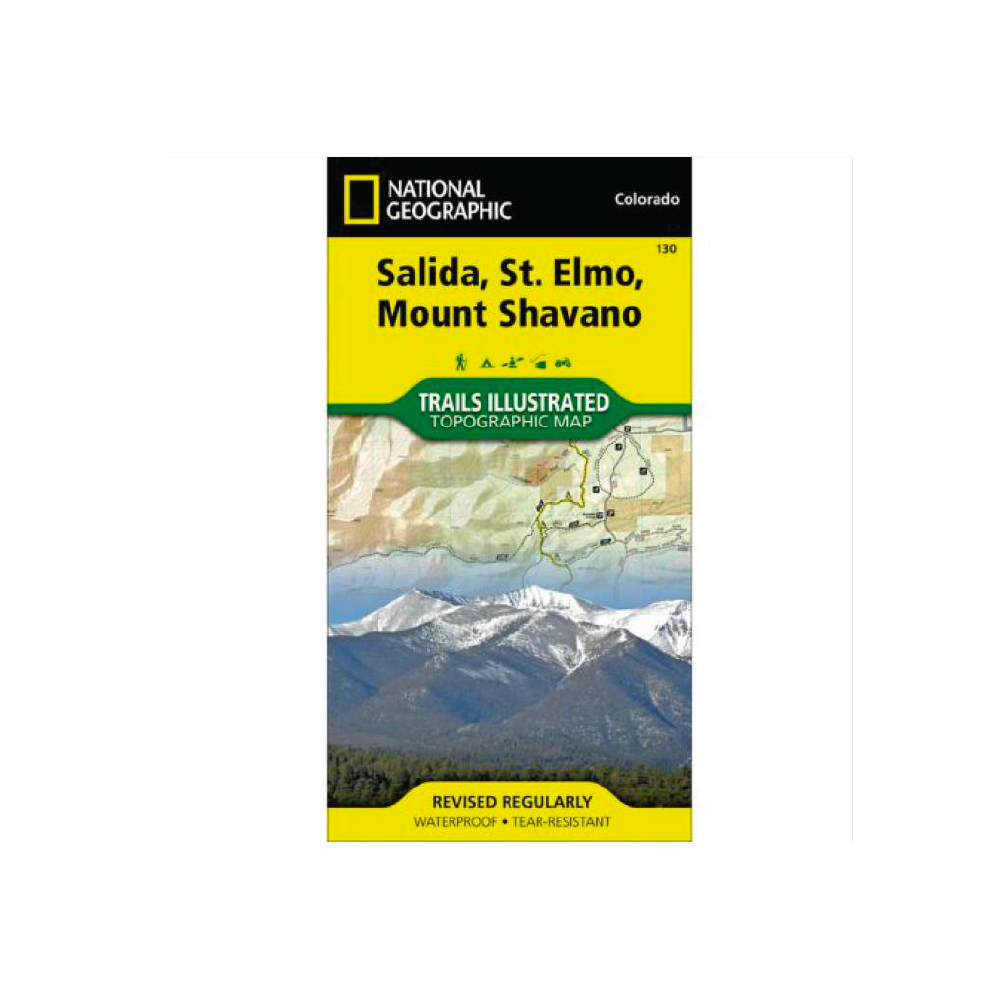
National Geographic 130: Salida | St. Elmo | Mount Shavano Map
• Waterproof • Tear-Resistant • Topographic Map
More info
$14.99
($14.99 Total)

Add to cart
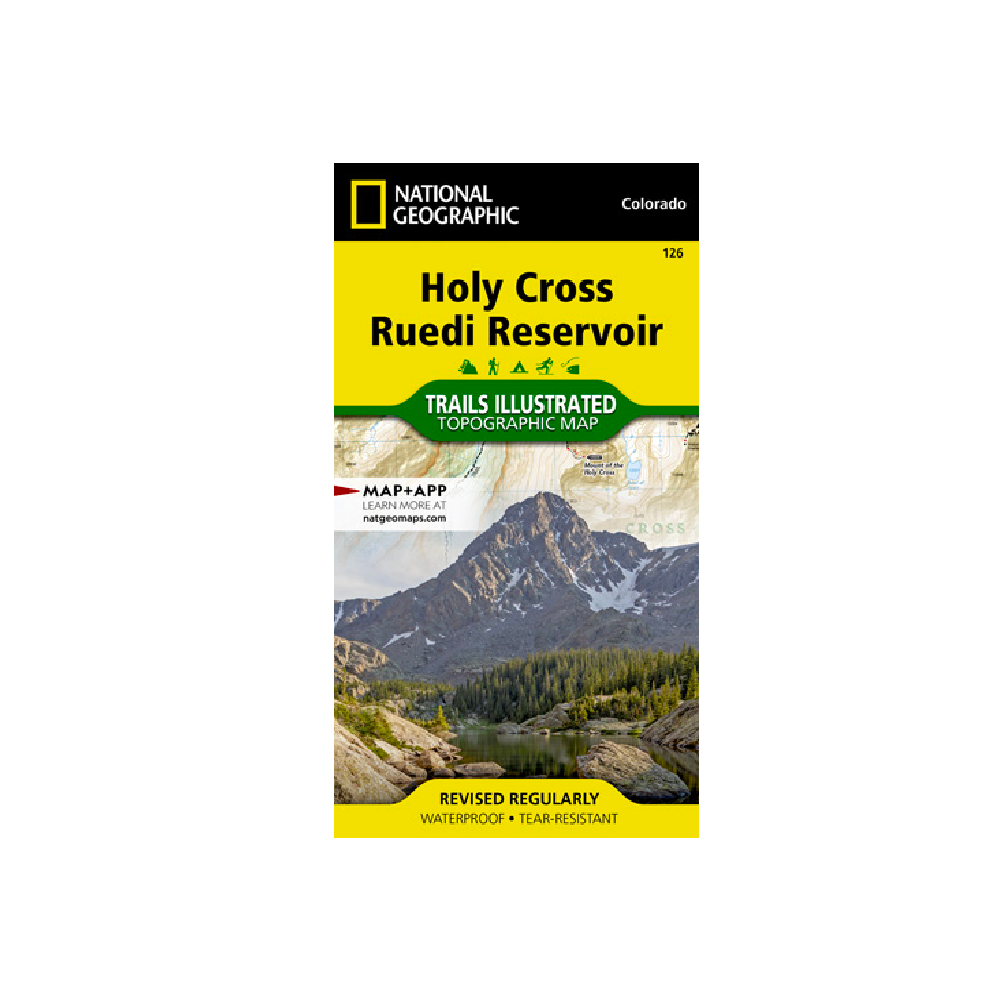
National Geographic 126: Holy Cross | Ruedi Reservoir Map
• Waterproof • Tear-Resistant • Topographic Map
More info
$14.99
($14.99 Total)

Add to cart
National Geographic 111: Red Feather Lakes | Glendevey Map
• Waterproof • Tear-Resistant • Topographic Map
More info
$14.99
($14.99 Total)

Add to cart
National Geographic Grand Canyon National Park Map Pack
National Geographic Trails Illustrated's three map collection provides two unique perspectives on the park; a comprehensive overview of the entire park and its neighboring public lands.
More info
$34.99
($34.99 Total)

Add to cart
National Geographic Four Corners Map
Waterproof • Tear-Resistant • Travel Map
More info
$14.99
($14.99 Total)
